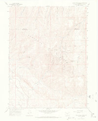
1966 Map of Devils Hole Gulch
USGS Topo · Published 1969About this map
The Danforth Hills define this high-altitude landscape along the border of Moffat and Rio Blanco counties, where mid-century industrial activity met a network of remote drainages. By the late 1960s, the terrain was heavily utilized for natural resources, evidenced by numerous oil wells, a pumping station, and a radio facility near Wilson Creek Camp. This industrial footprint is interspersed with natural landmarks like Old Baldy and Coal Butte.
Find a feature on this map
31 named features on this map. Tap any name to fly to it.
Don’t see what you’re looking for? This feature index may not catch every label — zoom into the map to look around manually.
Map Details
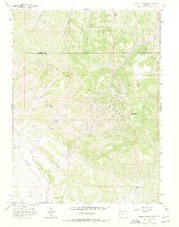
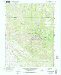
Editions of this 1966 Devils Hole Gulch Map
3 editions found
Other maps of this area

1907 · White River
USGS Topo · 1:125,000

1910 · Danforth Hills
USGS Topo · 1:125,000

1910 · White River
USGS Topo · 1:125,000

1912 · Meeker
USGS Topo · 1:62,500

1912 · Axial
USGS Topo · 1:62,500

1914 · Meeker
USGS Topo · 1:62,500

1914 · Axial
USGS Topo · 1:62,500

1954 · Vernal
USGS Topo · 1:250,000

1954 · Craig
USGS Topo · 1:250,000

1957 · Craig
USGS Topo · 1:250,000