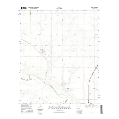
2016 Map of Devol
USGS Topo · Published 2016About this map
Devol sits at a geographic crossroads along the Oklahoma-Texas border, defined by the winding course of the Red River and its accompanying floodplains. This 2016 survey shows the town's grid established just north of the river, with streets such as Lawton Ave, Dallas Ave, and Wichita Ave reflecting the regional connectivity of this agricultural hub. The landscape is shaped by the erratic path of the river, which creates distinctive terrain features like Goat Island and is fed by local tributaries including Bule Creek and Wildhorse Creek. South of the town center, Tullis Lake marks a significant local water body amidst the riparian terrain. For those researching local history, the Devol Cem provides a grounded point for genealogical study in this borderland territory between Cotton and Tillman counties in Oklahoma and Wichita County in Texas.
Find a feature on this map
46 named features on this map. Tap any name to fly to it.
Don’t see what you’re looking for? This feature index may not catch every label — zoom into the map to look around manually.
Map Details
Editions of this 2016 Devol Map
This is the sole edition of this map. No revisions or reprints were ever made.
Other maps of this area

1915 · Clara
USGS Topo · 1:24,000

1915 · Burkburnett
USGS Topo · 1:24,000

1918 · Buckburnett
USGS Topo · 1:31,680

1918 · Clara
USGS Topo · 1:31,680

1955 · Lawton
USGS Topo · 1:250,000

1957 · Burkburnett
USGS Topo · 1:62,500

1957 · Randlett
USGS Topo · 1:62,500

1962 · Chattanooga
USGS Topo · 1:62,500

1962 · Walters
USGS Topo · 1:62,500
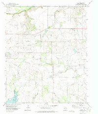
1972 · Clara
USGS Topo · 1:24,000