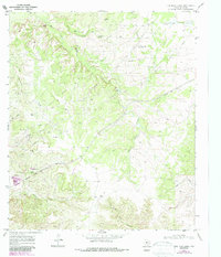
1969 Map of Dew Drop Creek
USGS Topo · Published 1987About this map
The Lucia Nena Oil Field dominates this landscape in central Texas, where a dense network of petroleum infrastructure—including numerous Oil Wells, a Pipeline, and several Pumping Stations—crisscrosses the drainage basins. Water sources like Deadman Spring and Silver Lake provide relief in this terrain, which is defined by the winding paths of Big Silver Creek, Dew Drop Creek, and Yellow Wolf Creek.
Find a feature on this map
25 named features on this map. Tap any name to fly to it.
Don’t see what you’re looking for? This feature index may not catch every label — zoom into the map to look around manually.
Map Details
Editions of this 1969 Dew Drop Creek Map
2 editions found
Other maps of this area

1893 · Sweetwater
USGS Topo · 1:125,000

1954 · Big Spring
USGS Topo · 1:250,000

1958 · Big Spring
USGS Topo · 1:250,000

1959 · Dam Draw
USGS Topo · 1:24,000

1959 · Silver
USGS Topo · 1:24,000

1962 · Sanco
USGS Topo · 1:24,000

1969 · Baumann School
USGS Topo · 1:24,000

1969 · Bench Mountain
USGS Topo · 1:24,000

1969 · Maryneal
USGS Topo · 1:24,000
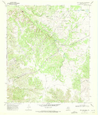
1969 · Dew Drop Creek
USGS Topo · 1:24,000