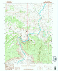
1985 Map of Dewey
USGS Topo · Published 1995About this map
Colorado River and Dolores River meet in this canyon-carved landscape of Grand County, Utah. The settlement of Dewey sits near the confluence, supported by water sources like Dewey Spring and served by a Gaging Station. The geography is defined by deep incisions through the Dome Plateau and broad alluvial flats known locally as bottoms, including Ninetime Bottom, Hotel Bottom, and Roberts Bottom. To the south, the terrain drops into the striking Richardson Amphitheater and opens into Professor Valley. These named flats along the river loops suggest a history of seasonal grazing and early river-access points in an otherwise formidable terrain of mesas like Hotel Mesa and Little Pinto Mesa. A single adit and scattered springs like Couskin Spring provide evidence of early prospecting and vital water management in the arid West.
Find a feature on this map
31 named features on this map. Tap any name to fly to it.
Don’t see what you’re looking for? This feature index may not catch every label — zoom into the map to look around manually.
Map Details
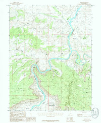
Editions of this 1985 Dewey Map
2 editions found
Other maps of this area

1885 · La Sal
USGS Topo · 1:250,000

1954 · Mt. Waas 4 NW
USGS Topo · 1:24,000

1954 · Mt. Waas 3 NE
USGS Topo · 1:24,000

1954 · Mt. Waas 1 SW
USGS Topo · 1:24,000

1954 · Mt. Waas 3 NW
USGS Topo · 1:24,000

1954 · Mt. Waas 1 NW
USGS Topo · 1:24,000

1954 · Coates Creek
USGS Topo · 1:62,500

1954 · Polar Mesa
USGS Topo · 1:62,500

1954 · Castle Valley
USGS Topo · 1:62,500

1955 · Mt. Waas 2 SE
USGS Topo · 1:24,000