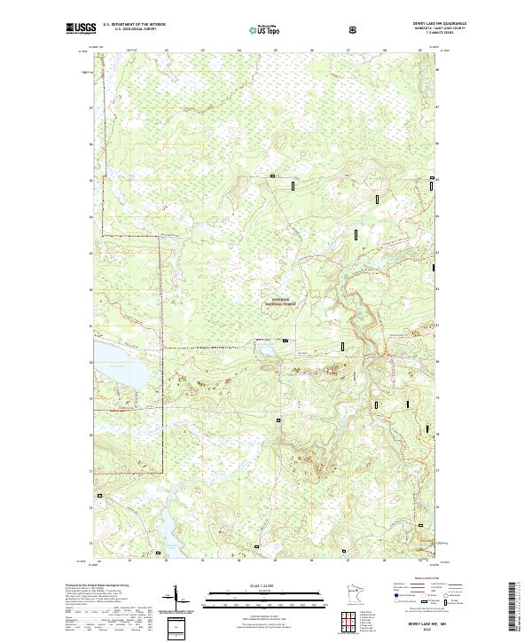
2022 Map of Dewey Lake NW
USGS Topo · Published 2022About this map
Superior National Forest defines the landscape of this northern St. Louis County quadrangle, where a dense network of forest roads and motorized trails intersects with the headwaters of several regional waterways. The drainage pattern is dominated by the Sturgeon River and its various tributaries, including the S Br Sturgeon River and Murray Cr. This area serves as a significant recreational corridor, evidenced by the presence of the Taconite State Trl and the Taconite Ohv Trl. The map illustrates the 21st-century management of these timberlands through numerous spur trails such as Godell Spur J Trl and Sturgeon River Spur C Trl. Large bodies of water like Perch Lake and Shannon Lake provide anchor points for local geography, while smaller features like Luna Lake and Jean Lake are accessible via routes like Luna Lake Rd and Forest Rte 279.
Find a feature on this map
38 named features on this map. Tap any name to fly to it.
Don’t see what you’re looking for? This feature index may not catch every label — zoom into the map to look around manually.
Map Details
Editions of this 2022 Dewey Lake NW Map
This is the sole edition of this map. No revisions or reprints were ever made.
Other maps of this area

1954 · Hibbing
USGS Topo · 1:250,000

1955 · Dark Lake
USGS Topo · 1:24,000

1955 · Dewey Lake SE
USGS Topo · 1:24,000

1955 · Dewey Lake NW
USGS Topo · 1:24,000

1955 · Dewey Lake
USGS Topo · 1:24,000

1957 · Hibbing
USGS Topo · 1:250,000

1958 · Hibbing
USGS Topo · 1:250,000

1964 · Hibbing
USGS Topo · 1:250,000

1964 · Side Lake
USGS Topo · 1:24,000

1964 · Linden Grove
USGS Topo · 1:24,000