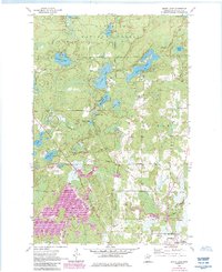
1955 Map of Dewey Lake
USGS Topo · Published 1985About this map
Superior National Forest encompasses the northern portion of this map, where the Sturgeon River flows through a landscape defined by glacial lakes and wetlands. The southern reaches of the sheet shift towards industrial and municipal activity on the outskirts of local communities, notably near the Chisholm Corp Bdy and Hibbing Corp Bdy. This map captures the intersection of Iron Range industry and the wilderness of the North Woods during the mid-20th century.
Find a feature on this map
27 named features on this map. Tap any name to fly to it.
Don’t see what you’re looking for? This feature index may not catch every label — zoom into the map to look around manually.
Map Details
Editions of this 1955 Dewey Lake Map
4 editions found
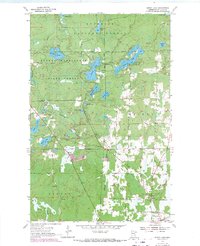
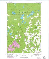
Other maps of this area

1951 · Hibbing
USGS Topo · 1:24,000

1951 · Buhl
USGS Topo · 1:24,000

1952 · Keewatin
USGS Topo · 1:24,000

1954 · Hibbing
USGS Topo · 1:250,000

1955 · Dark Lake
USGS Topo · 1:24,000

1955 · Dewey Lake SE
USGS Topo · 1:24,000

1955 · Dewey Lake NW
USGS Topo · 1:24,000

1955 · Dewey Lake
USGS Topo · 1:24,000

1957 · Hibbing
USGS Topo · 1:250,000

1957 · Hibbing
USGS Topo · 1:24,000