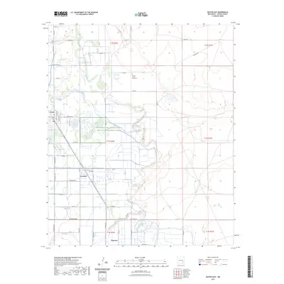
2023 Map of Dexter East
USGS Topo · Published 2023About this map
The Pecos River carves a winding path through this corner of Chaves County, creating a riparian corridor that supports a complex network of irrigation and aquaculture. The Hagerman Canal runs parallel to the river's western bank, serving the agricultural needs of the settlements at Dexter, Greenfield, and Hagerman. A primary focal point is the Dexter National Fish Hatchery and Fish Technology Center, situated near the waters of Lake Van. This facility highlights the region's specialized role in regional water management and conservation. To the south, the Rio Felix joins the river system, while the northern reaches include the Durand Reservoir. Local landmarks like the Spring Mound Valley Cem and a grid of rural routes, including Co RD 49 and Navajo RD, document the established residential and farming footprint of the Pecos Valley.
Find a feature on this map
57 named features on this map. Tap any name to fly to it.
Don’t see what you’re looking for? This feature index may not catch every label — zoom into the map to look around manually.
Map Details
Editions of this 2023 Dexter East Map
This is the sole edition of this map. No revisions or reprints were ever made.
Other maps of this area

1949 · Wade Ranch
USGS Topo · 1:24,000

1950 · Dexter West
USGS Topo · 1:24,000

1950 · Bottomless Lakes
USGS Topo · 1:24,000

1950 · South Spring
USGS Topo · 1:24,000

1950 · Dexter East
USGS Topo · 1:24,000

1951 · Ninemile Well
USGS Topo · 1:24,000

1951 · Hagerman
USGS Topo · 1:24,000

1952 · Bar C Bar Ranch
USGS Topo · 1:24,000

1952 · Hagerman SW
USGS Topo · 1:24,000

1955 · Roswell
USGS Topo · 1:250,000