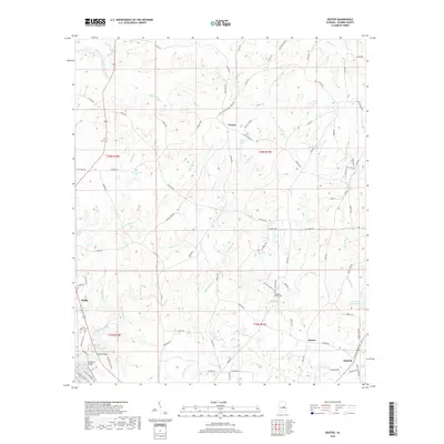
2018 Map of Dexter
USGS Topo · Published 2018About this map
The community of Santuck anchor the southeastern corner of this landscape, situated at the junction of Dexter Rd and several local routes. The terrain is defined by a dense network of waterways including Sofkahatchee Cr, Fisher Cr, and Weoka Creek, which carve through the Elmore County hills. To the north, the small settlement of Weoka sits near the banks of Little Weoka Creek, while Riddle and Dexter mark other points of habitation. Several family-named and community landmarks appear throughout, such as Pleasant Ridge Cem, Mann Cem, and Little Flock Cem, providing essential points of interest for genealogists. The southwestern portion of the sheet features the Swayback Bridge Trail crossing the Sofkahatchee Cr at Swayback Bridge, adjacent to Collier Bridge, reflecting the outdoor recreation and historical transportation infrastructure of the region.
Find a feature on this map
88 named features on this map. Tap any name to fly to it.
Don’t see what you’re looking for? This feature index may not catch every label — zoom into the map to look around manually.
Map Details
Editions of this 2018 Dexter Map
This is the sole edition of this map. No revisions or reprints were ever made.
Other maps of this area

1901 · Wetumpka
USGS Topo · 1:125,000

1901 · Wetumpka
USGS Topo · 1:62,500

1903 · Wetumpka
USGS Topo · 1:125,000

1953 · Montgomery
USGS Topo · 1:250,000

1956 · Montgomery
USGS Topo · 1:250,000

1957 · Montgomery
USGS Topo · 1:250,000
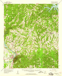
1959 · Wetumpka
USGS Topo · 1:62,500

1959 · Elmore
USGS Topo · 1:62,500

1971 · Richville
USGS Topo · 1:24,000
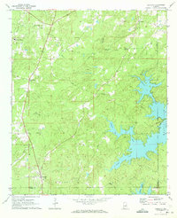
1971 · Equality
USGS Topo · 1:24,000