2022 Map of Dexter
USGS Topo · Published 2022About this map
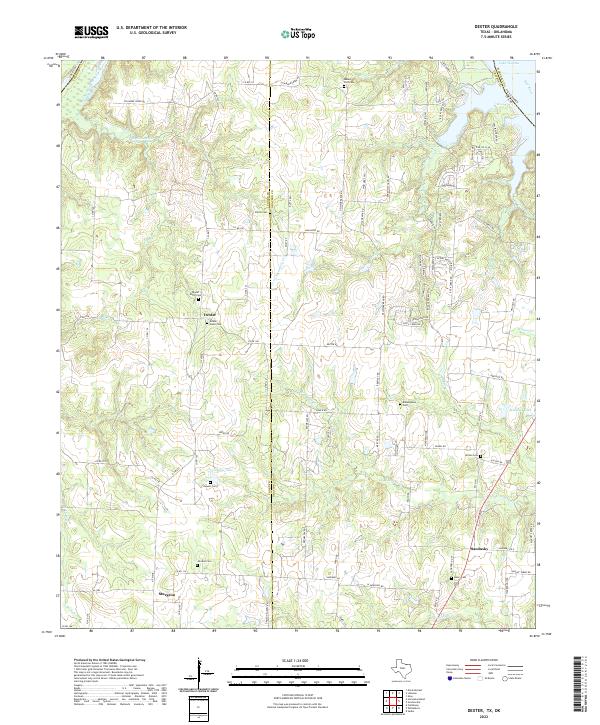
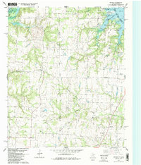
Dexter anchors this portion of North Texas along the Cooke Co Grayson Co line, situated just south of the winding Red River and the sprawling waters of Lake Texoma. The map reveals a deeply established rural landscape where family and community history is anchored by numerous burial grounds, including the Dexter North Cem, Dexter South Cem, and Shiloh Cem. Smaller settlements like Sandusky and Sturgeon are connected by a network of farm-to-market roads and county routes, such as N FM 678 and Sycamore Creek Rd, which traverse the drainage basins of Sycamore Cr and Rock Creek. To the northeast, the presence of the SAFB Annex near the Oklahoma border indicates the long-standing military and strategic significance of this riverine boundary area.
Find a feature on this map
104 named features on this map. Tap any name to fly to it.
Don’t see what you’re looking for? This feature index may not catch every label — zoom into the map to look around manually.
Map Details
Editions of this 2022 Dexter Map
This is the sole edition of this map. No revisions or reprints were ever made.
Historical Maps of Dexter Through Time
20 maps found
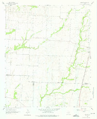
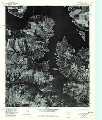
1957 Denison Dam
Grayson County, TX
1958 Gordonville
Grayson County, TX
1958 Sherman NW
Grayson County, TX
1958 Whitesright
Grayson County, TX
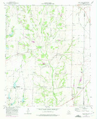
1961 Marilee
Grayson County, TX
1964 Pilot Grove
Grayson County, TX
1976 Gordonville SE
Grayson County, TX
1976 Gordonville SW
Grayson County, TX
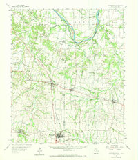
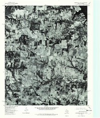
1982 Dexter
Grayson County, TX
1982 Ethel
Grayson County, TX
1982 Gordonville
Grayson County, TX
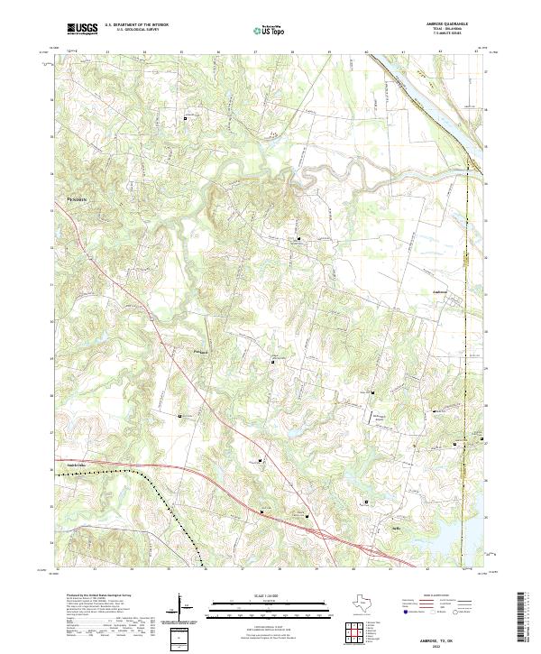
1984 Ambrose
Grayson County, TX
2022 Ambrose
Grayson County, TX
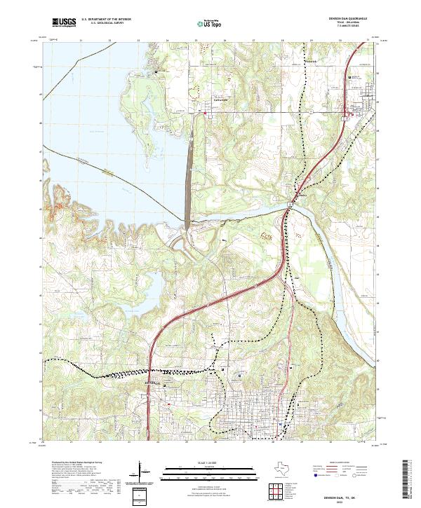
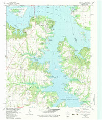
2022 Denison Dam
Grayson County, TX
2022 Dexter
Grayson County, TX
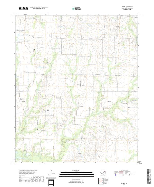
2022 Ethel
Grayson County, TX
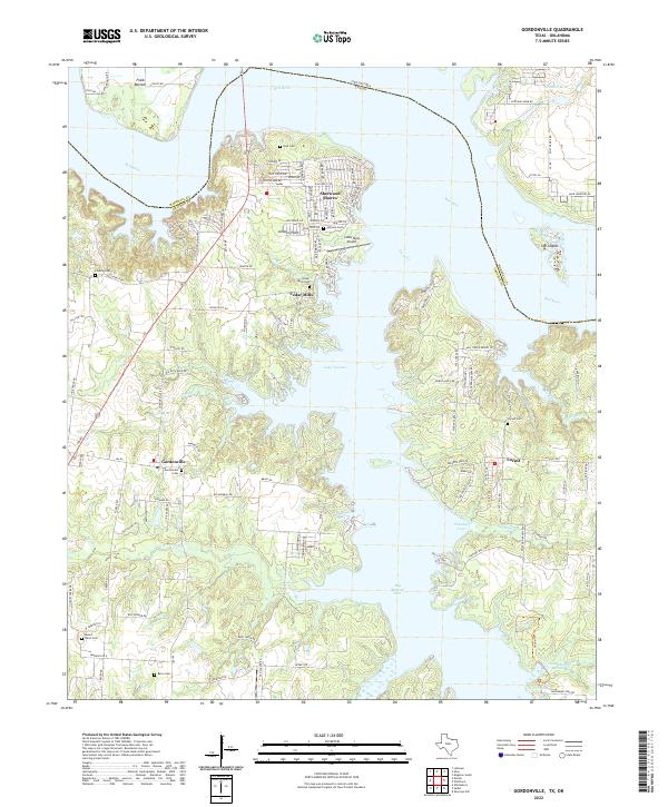
2022 Gordonville
Grayson County, TX
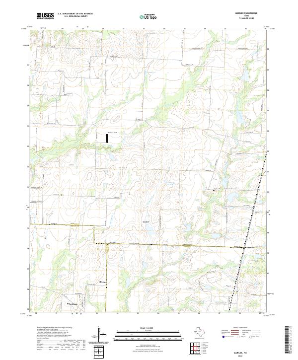
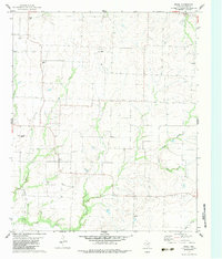
2022 Marilee
Grayson County, TX
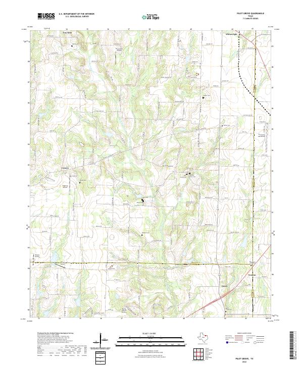
2022 Pilot Grove
Grayson County, TX
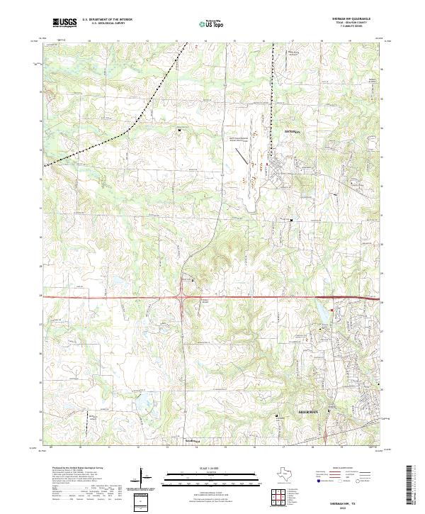
2022 Sherman NW
Grayson County, TX