
1906 Map of Dexter
USGS Topo · Published 1906About this map
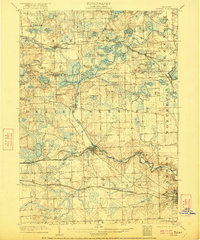
The Huron River dominates this early twentieth-century landscape, providing power for industry at riverside settlements like Delhi Mills and Hudson Mills. The town of Dexter serves as a central hub where the Michigan Central R. R. follows the river valley, while the Detroit Ypsilanti Ann Arbor and Jackson Electric Line cuts across the southern townships of Lima and Scio.
Find a feature on this map
74 named features on this map. Tap any name to fly to it.
Don’t see what you’re looking for? This feature index may not catch every label — zoom into the map to look around manually.
Map Details
Editions of this 1906 Dexter Map
4 editions found
Other maps of this area

1902 · South Lyon
USGS Topo · 1:62,500

1902 · Ypsilanti
USGS Topo · 1:62,500

1902 · Dexter
USGS Topo · 1:62,500

1904 · Ann Arbor
USGS Topo · 1:125,000

1906 · Ypsilanti
USGS Topo · 1:62,500

1906 · Saline
USGS Topo · 1:62,500

1906 · South Lyon
USGS Topo · 1:62,500

1907 · Howell
USGS Topo · 1:62,500

1908 · Ann Arbor
USGS Topo · 1:125,000

1908 · Fowlerville
USGS Topo · 1:62,500
Featured Places
- Ann Arbor, MI
- Pittsfield Charter Township, MI
- Hamburg Township, MI
- Green Oak Charter Township, MI
- Scio Township, MI