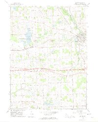
1964 Map of Dexter
USGS Topo · Published 1974About this map
The Huron River and the New York Central railroad corridor define the landscape of eastern Washtenaw County in this mid-1960s survey. The village of Dexter serves as a local hub, with its residential streets laid out near the river's bend and St Joseph Cem on its southern edge. This area is characterized by a high density of rural cemeteries and country churches, including the Lima Cem and Faith Ch, suggesting deep-rooted family ties in the surrounding townships of Lima and Webster.
Find a feature on this map
67 named features on this map. Tap any name to fly to it.
Don’t see what you’re looking for? This feature index may not catch every label — zoom into the map to look around manually.
Map Details
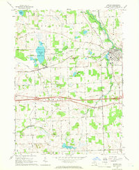
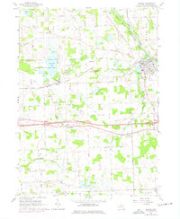
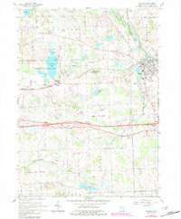
Editions of this 1964 Dexter Map
4 editions found
Other maps of this area

1902 · Dexter
USGS Topo · 1:62,500

1904 · Ann Arbor
USGS Topo · 1:125,000

1906 · Dexter
USGS Topo · 1:62,500

1906 · Saline
USGS Topo · 1:62,500

1908 · Ann Arbor
USGS Topo · 1:125,000

1919 · Stockbridge
USGS Topo · 1:62,500

1922 · Stockbridge
USGS Topo · 1:62,500

1942 · Stockbridge
USGS Topo · 1:62,500

1948 · Manchester
USGS Topo · 1:62,500

1949 · Manchester
USGS Topo · 1:62,500