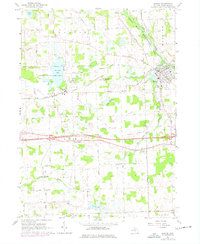
1964 Map of Dexter
USGS Topo · Published 1977About this map
Huron River waters wind through the village of Dexter in this mid-1960s study, which also captures the region's 1970s suburban and transportation revisions. The landscape is defined by the New York Central railroad corridor and the wetlands surrounding Fourmile Lake, where the Chelsea State Game Area and Marl Pits indicate a history of both conservation and mineral extraction.
Find a feature on this map
57 named features on this map. Tap any name to fly to it.
Don’t see what you’re looking for? This feature index may not catch every label — zoom into the map to look around manually.
Map Details
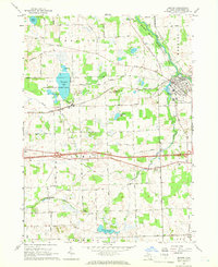
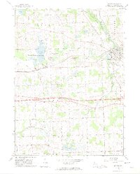
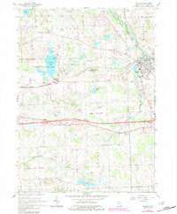
Editions of this 1964 Dexter Map
4 editions found
Other maps of this area

1902 · Dexter
USGS Topo · 1:62,500

1904 · Ann Arbor
USGS Topo · 1:125,000

1906 · Dexter
USGS Topo · 1:62,500

1906 · Saline
USGS Topo · 1:62,500

1908 · Ann Arbor
USGS Topo · 1:125,000

1919 · Stockbridge
USGS Topo · 1:62,500

1922 · Stockbridge
USGS Topo · 1:62,500

1942 · Stockbridge
USGS Topo · 1:62,500

1948 · Manchester
USGS Topo · 1:62,500

1949 · Manchester
USGS Topo · 1:62,500