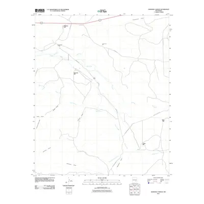
2010 Map of Diamond A Ranch
USGS Topo · Published 2010About this map
Rio Hondo and its seasonal tributaries define this high-plains landscape in Chaves County. At the beginning of the 21st century, the area remained dominated by large-scale ranching operations, centered on landmarks like the Diamond A Ranch and White Ranch. A network of drainage features, including Rocky Arroyo and Thirteenmile Draw, crisscrosses the terrain, while the transportation corridor of highway 70/380 runs along the northern boundary.
Find a feature on this map
20 named features on this map. Tap any name to fly to it.
Don’t see what you’re looking for? This feature index may not catch every label — zoom into the map to look around manually.
Map Details
Editions of this 2010 Diamond A Ranch Map
This is the sole edition of this map. No revisions or reprints were ever made.
Other maps of this area

1949 · Hondo Reservoir
USGS Topo · 1:24,000

1949 · Juan Lake
USGS Topo · 1:24,000

1949 · Corn Ranch
USGS Topo · 1:24,000

1950 · Corn Ranch
USGS Topo · 1:24,000

1955 · Roswell
USGS Topo · 1:250,000

1956 · Diamond A Ranch
USGS Topo · 1:24,000

1958 · Roswell
USGS Topo · 1:250,000

1959 · Diamond A Ranch
USGS Topo · 1:24,000

1961 · Indian Bluff
USGS Topo · 1:62,500

1962 · Roswell
USGS Topo · 1:250,000