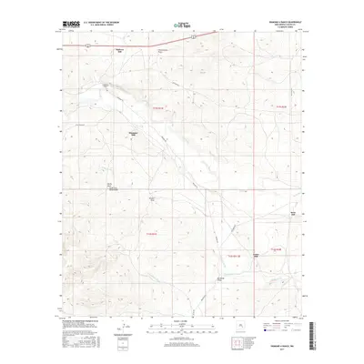
2017 Map of Diamond A Ranch
USGS Topo · Published 2017About this map
Diamond A Ranch sits at the heart of this landscape, where the high desert is carved by seasonal drainage systems and pastoral infrastructure. The terrain is defined by a series of significant draws, including Thirteenmile Draw, Johnson Draw, and Buchanan Draw, which channel water toward the Rio Hondo and Rocky Arroyo. This area of Chaves County exhibits a distinct pattern of land use centered on several scattered mills, likely serving ranching or resource needs, such as Highway Mill, Diamante Mill, Center Mill, and River Mill.
Find a feature on this map
23 named features on this map. Tap any name to fly to it.
Don’t see what you’re looking for? This feature index may not catch every label — zoom into the map to look around manually.
Map Details
Editions of this 2017 Diamond A Ranch Map
This is the sole edition of this map. No revisions or reprints were ever made.
Other maps of this area

1949 · Hondo Reservoir
USGS Topo · 1:24,000

1949 · Juan Lake
USGS Topo · 1:24,000

1949 · Corn Ranch
USGS Topo · 1:24,000

1950 · Corn Ranch
USGS Topo · 1:24,000

1955 · Roswell
USGS Topo · 1:250,000

1956 · Diamond A Ranch
USGS Topo · 1:24,000

1958 · Roswell
USGS Topo · 1:250,000

1959 · Diamond A Ranch
USGS Topo · 1:24,000

1961 · Indian Bluff
USGS Topo · 1:62,500

1962 · Roswell
USGS Topo · 1:250,000