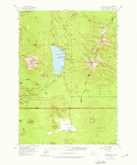
1956 Map of Diamond Lake
USGS Topo · Published 1976About this map
Diamond Lake serves as the central hub of this 1956 mid-century survey, surrounded by the high peaks of the Cascade Range and a network of Forest Service infrastructure. The map documents the established recreational and management presence in the area, featuring the Diamond Lake Guard Sta, a State Fish Hatchery, and multiple campsites like White Fir Forest Camp. To the south, the terrain transforms into the stark Pumice Desert within the northern boundary of Crater Lake National Park, marked by the North Entrance. The landscape is dominated by volcanic features, including the jagged spires of Mt Thielsen and the broad profile of Mt Bailey. A complex system of trails, including the Oregon Skyline Trail and Pacific Crest Trail, provides a detailed record of high-country transit before modern road expansions altered the wilderness character.
Find a feature on this map
73 named features on this map. Tap any name to fly to it.
Don’t see what you’re looking for? This feature index may not catch every label — zoom into the map to look around manually.
Map Details
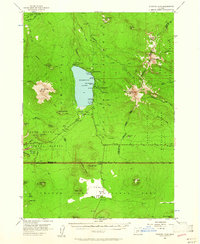
Editions of this 1956 Diamond Lake Map
3 editions found

Other maps of this area

1889 · Klamath
USGS Topo · 1:250,000

1891 · Ashland
USGS Topo · 1:250,000

1893 · Ashland
USGS Topo · 1:250,000

1894 · Klamath
USGS Topo · 1:250,000

1897 · Ashland
USGS Topo · 1:250,000

1917 · Diamond Lake
USGS Topo · 1:125,000

1935 · Chemult
USGS Topo · 1:96,000

1941 · Chemult
USGS Topo · 1:125,000

1955 · Crescent
USGS Topo · 1:250,000

1955 · Klamath Falls
USGS Topo · 1:250,000