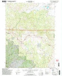
1994 Map of Diamond Mountain
USGS Topo · Published 1997About this map
Peter Lassen Grave stands as a notable historical marker within this mountainous landscape, situated near Lost Meadows and the winding course of Lassen Creek. In the mid-1990s, this area north of the Lassen and Plumas county line shows a balance of early education and resource management, anchored by the Richmond School and the Ridenoure Reservoir. The rugged terrain of the Diamond Mountain range is traversed by high-elevation routes like the Skyline Motorway and Diamond Mountain Motorway.
Find a feature on this map
43 named features on this map. Tap any name to fly to it.
Don’t see what you’re looking for? This feature index may not catch every label — zoom into the map to look around manually.
Map Details
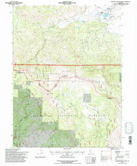
Editions of this 1994 Diamond Mountain Map
2 editions found
Other maps of this area

1886 · Honey Lake
USGS Topo · 1:250,000

1891 · Honey Lake
USGS Topo · 1:250,000

1893 · Honey Lake
USGS Topo · 1:250,000

1950 · Kettle Rock
USGS Topo · 1:62,500

1950 · Greenville
USGS Topo · 1:62,500

1954 · Susanville
USGS Topo · 1:62,500

1955 · Westwood
USGS Topo · 1:62,500

1955 · Westwood
USGS Topo · 1:250,000

1958 · Westwood
USGS Topo · 1:250,000

1959 · Westwood
USGS Topo · 1:250,000