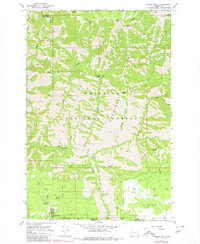
1967 Map of Diamond Peak
USGS Topo · Published 1980About this map
Umatilla National Forest defines this high-country landscape at the border of Garfield and Columbia Counties in Washington, extending south into Wallowa County, Oregon. The area is characterized by an intricate network of ridges and canyons, where Monument Ridge and Crooked Ridge divide various drainages. Historically, this terrain served as seasonal range for livestock and a thoroughfare for travelers, evidenced by the numerous named water sources like Sheephead Spring and Fairview Spring, and markers such as the Sheephead Corral. Human presence is sparse, limited to remote outposts like Kelly Camp and the First Creek Cabin. A system of pack trails and jeep trails connects the high points, including Mt Misery and Diamond Peak, illustrating how earlier surveyors and foresters navigated these heights before modernized road networks reached the interior of the Blue Mountains.
Find a feature on this map
41 named features on this map. Tap any name to fly to it.
Don’t see what you’re looking for? This feature index may not catch every label — zoom into the map to look around manually.
Map Details
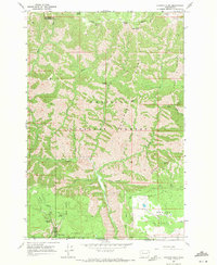
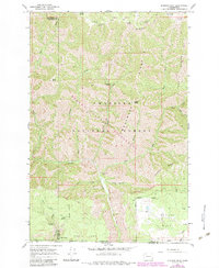
Editions of this 1967 Diamond Peak Map
3 editions found
Other maps of this area

1937 · Pomeroy
USGS Topo · 1:96,000

1942 · Pomeroy
USGS Topo · 1:125,000

1943 · Saddle Butte
USGS Topo · 1:62,500

1946 · Saddle Butte
USGS Topo · 1:62,500

1955 · Pullman
USGS Topo · 1:250,000

1955 · Grangeville
USGS Topo · 1:250,000

1958 · Pullman
USGS Topo · 1:250,000

1959 · Grangeville
USGS Topo · 1:250,000

1967 · Troy
USGS Topo · 1:24,000

1967 · Eden
USGS Topo · 1:24,000