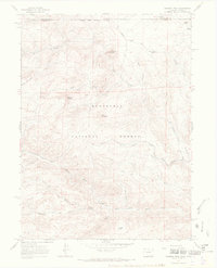
1967 Map of Diamond Peak
USGS Topo · Published 1971About this map
Roosevelt National Forest dominates this high-altitude landscape along the border of Colorado and Wyoming, as captured in the mid-1960s. The terrain is defined by prominent peaks including Diamond Peak and Deadhorse Mountain, which overlook a network of watercourses like Sheep Creek and Cornelius Creek. To the south, the North Fork Cache la Poudre River winds through the topography near Chicken Park.
Find a feature on this map
25 named features on this map. Tap any name to fly to it.
Don’t see what you’re looking for? This feature index may not catch every label — zoom into the map to look around manually.
Map Details
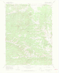
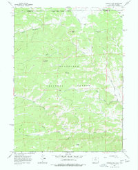
Editions of this 1967 Diamond Peak Map
3 editions found
Other maps of this area

1895 · Laramie
USGS Topo · 1:125,000

1902 · Laramie
USGS Topo · 1:125,000

1905 · Sherman
USGS Topo · 1:125,000

1905 · Laramie
USGS Topo · 1:125,000

1906 · Laramie
USGS Topo · 1:125,000

1907 · Livermore
USGS Topo · 1:125,000

1908 · Laramie
USGS Topo · 1:125,000

1909 · Livermore
USGS Topo · 1:125,000

1916 · Home
USGS Topo · 1:125,000

1920 · Home
USGS Topo · 1:125,000