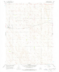
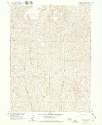
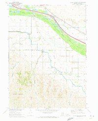
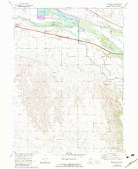
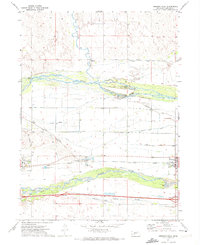
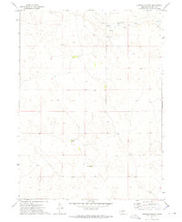
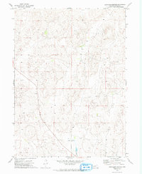
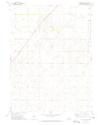
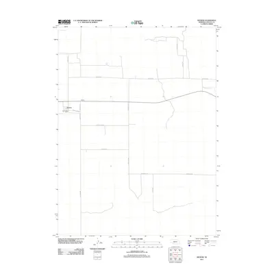
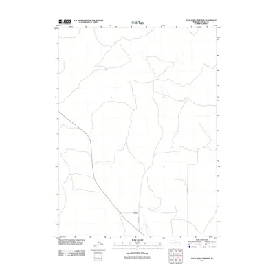
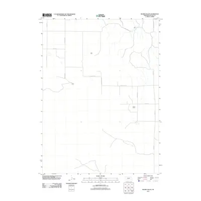
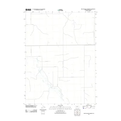
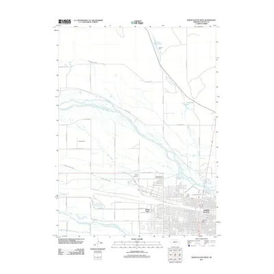
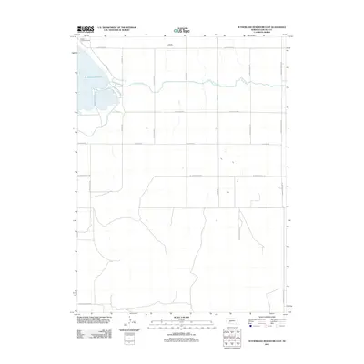
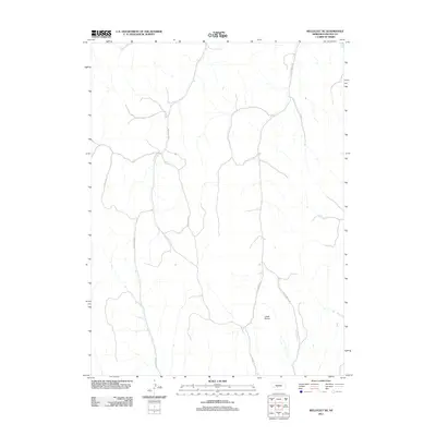
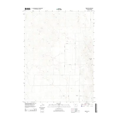
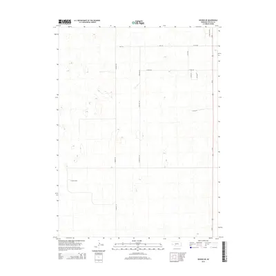
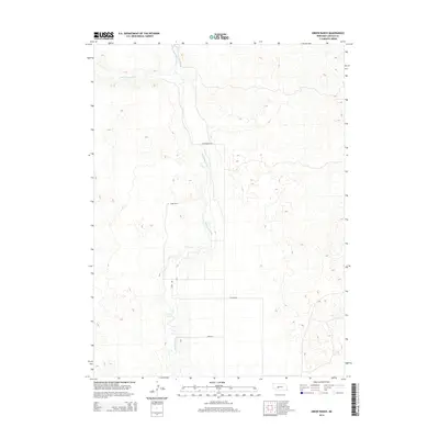
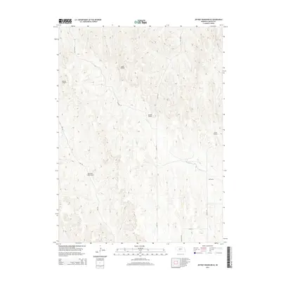
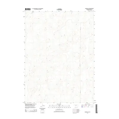
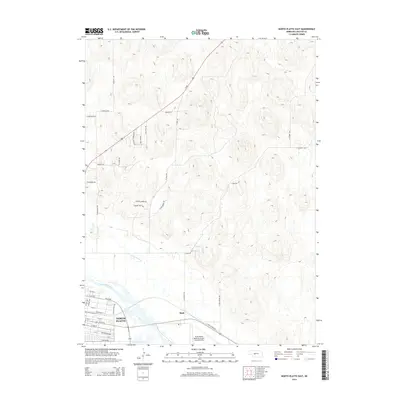
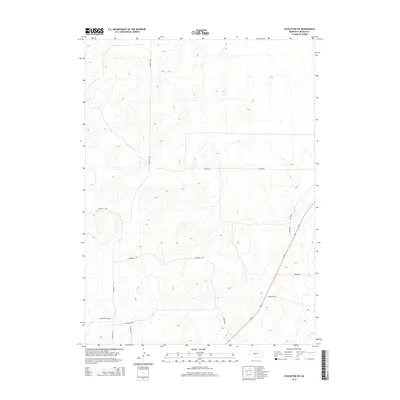
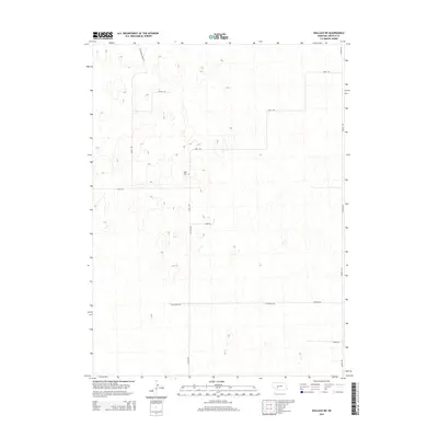
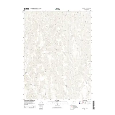
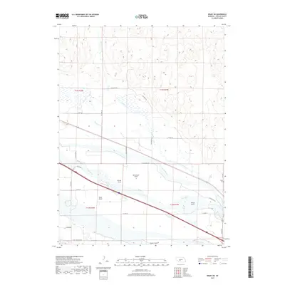
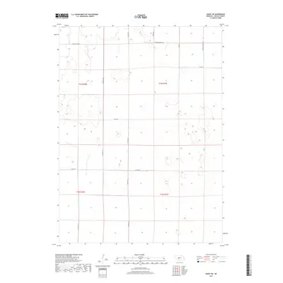
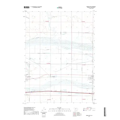
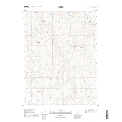
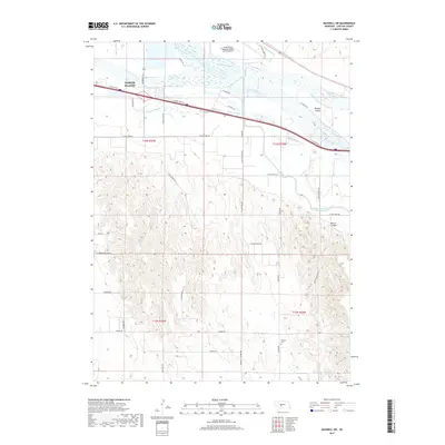
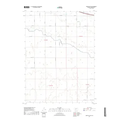
1956 Map of Dickens
USGS Topo · Published 1978About this map
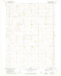
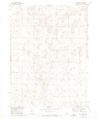
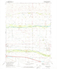
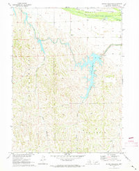
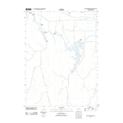
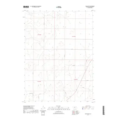
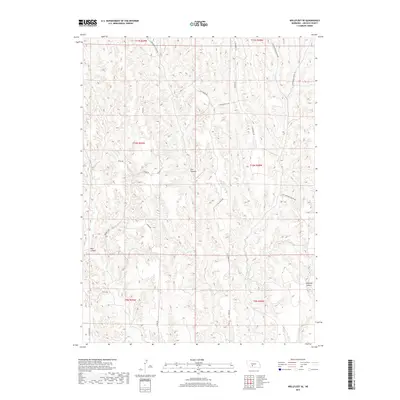
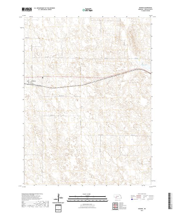
Dickens serves as the central hub of this mid-century Nebraska landscape, situated along the vital east-west corridor of the Chicago Burlington and Quincy railroad. The map depicts a characteristic Sandhills-adjacent topography, where the rectilinear grid of township boundaries like Willow and Somerset overlays a terrain marked by numerous depressions and subtle rises. Outside the small settlement, the Dickens Cem stands as a primary genealogical landmark for the surrounding rural community. To the northeast, the headwaters or drainage of Medicine Cr begin to define the watershed, providing a rare hydrological counterpoint to the otherwise dry, undulating surface of the Lincoln County plains. This survey represents the area's layout just before the intensification of modern center-pivot irrigation, capturing the traditional dryland farming and ranching patterns of the era.
Find a feature on this map
10 named features on this map. Tap any name to fly to it.
Don’t see what you’re looking for? This feature index may not catch every label — zoom into the map to look around manually.
Map Details
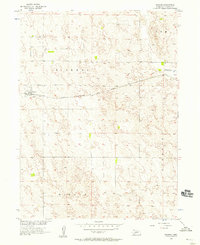
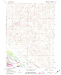
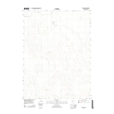
Editions of this 1956 Dickens Map
2 editions found
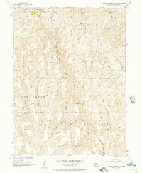
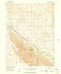
Historical Maps of Dickens Through Time
180 maps found
1956 Dickens
Lincoln County, NE
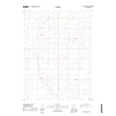
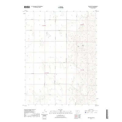
1956 Jeffrey Reservoir SW
Lincoln County, NE
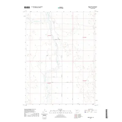
1956 Somerset
Lincoln County, NE
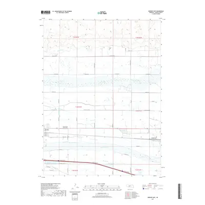
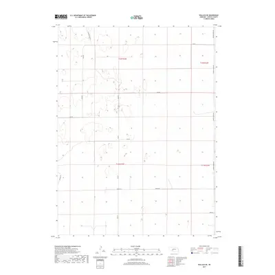
1956 Wellfleet NE
Lincoln County, NE
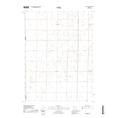
1956 Wellfleet NW
Lincoln County, NE
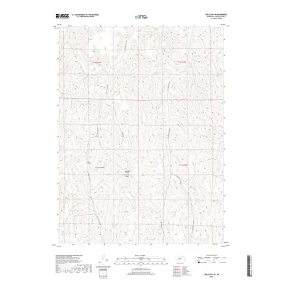
1956 Wellfleet SE
Lincoln County, NE
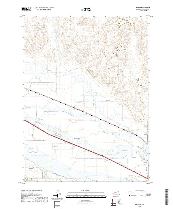
1970 Brady SW
Lincoln County, NE
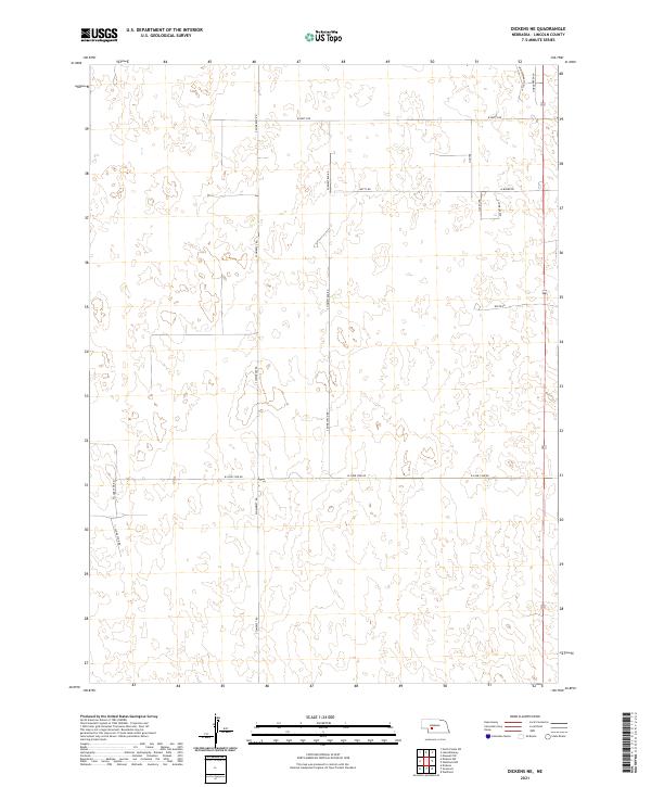
1970 Dickens NE
Lincoln County, NE
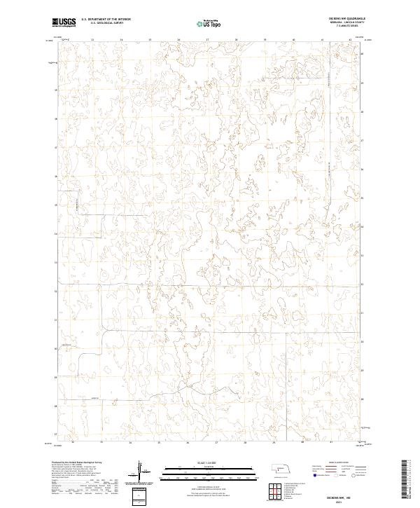
1970 Dickens NW
Lincoln County, NE
1970 Hershey East
Lincoln County, NE
1970 Jeffrey Reservoir
Lincoln County, NE
1970 Jeffrey Reservoir NE
Lincoln County, NE
1970 Jeffrey Reservoir SE
Lincoln County, NE
1970 Lake Maloney
Lincoln County, NE
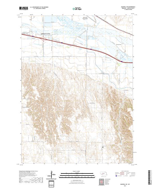
1970 Maxwell NE
Lincoln County, NE
1970 Maxwell SW
Lincoln County, NE
1970 North Platte East
Lincoln County, NE
1970 North Platte SW
Lincoln County, NE
1970 North Platte West
Lincoln County, NE
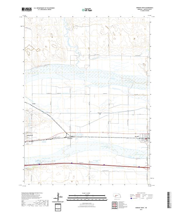
1971 Hershey West
Lincoln County, NE
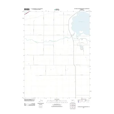
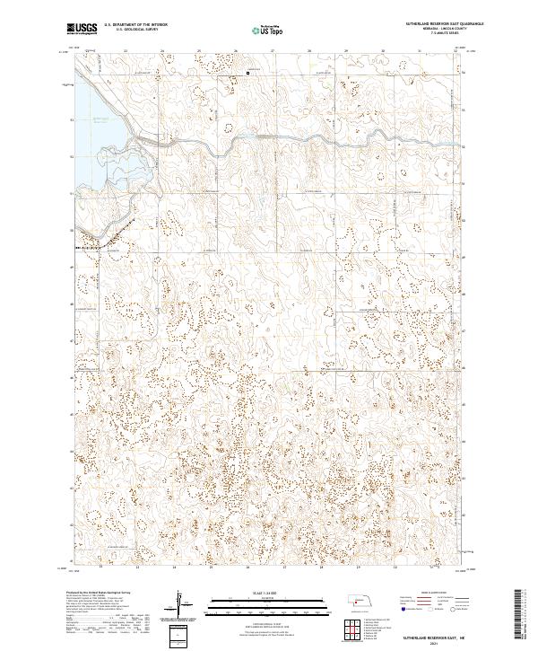
1971 Sutherland Reservoir East
Lincoln County, NE
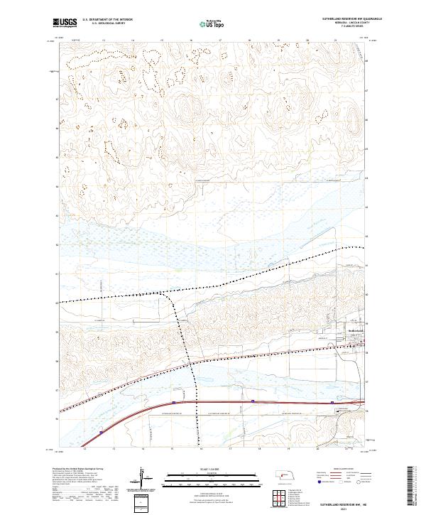
1971 Sutherland Reservoir NW
Lincoln County, NE
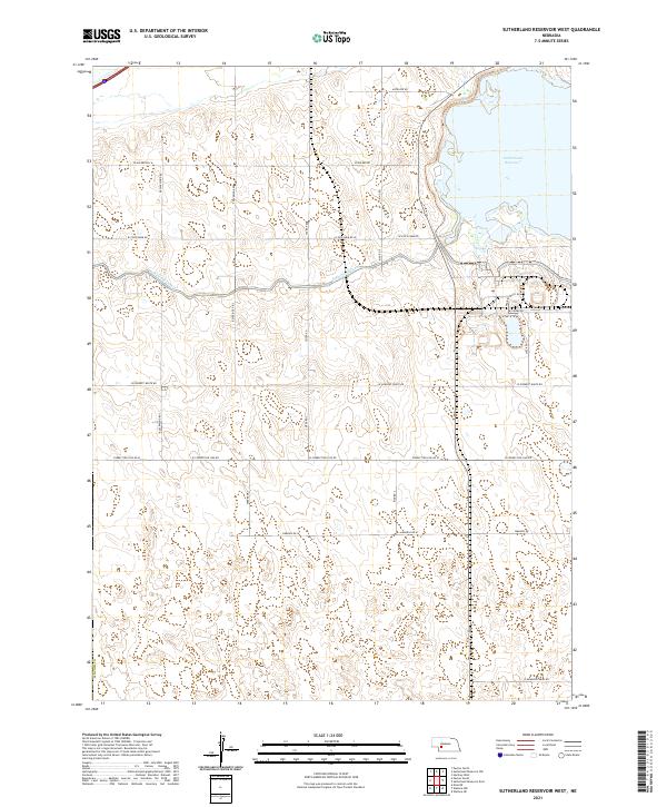
1971 Sutherland Reservoir West
Lincoln County, NE
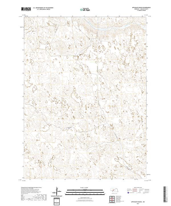
1972 Applegate Ranch
Lincoln County, NE
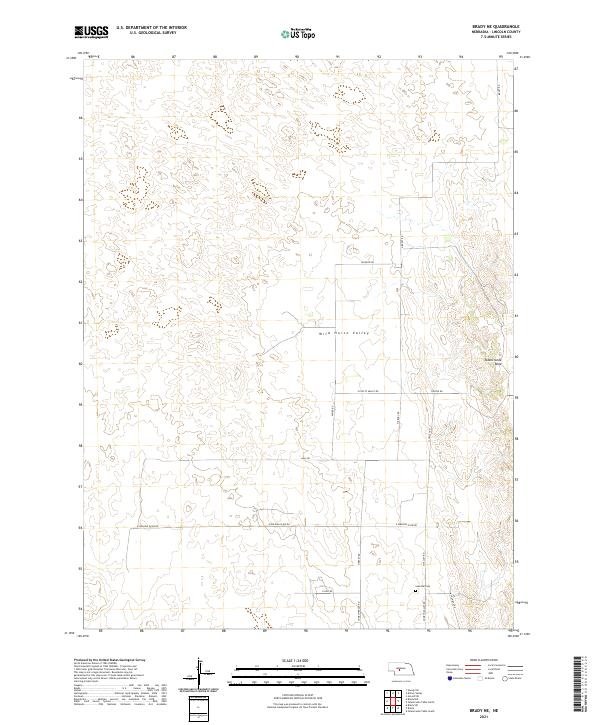
1972 Brady NE
Lincoln County, NE
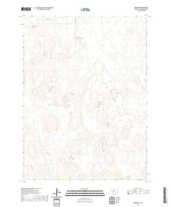
1972 Brady NW
Lincoln County, NE
1972 Gandy SW
Lincoln County, NE
1972 Good Hope Cemetery
Lincoln County, NE
1972 Green Ranch
Lincoln County, NE
1972 Kilmer Valley
Lincoln County, NE
1972 North Of Hershey
Lincoln County, NE
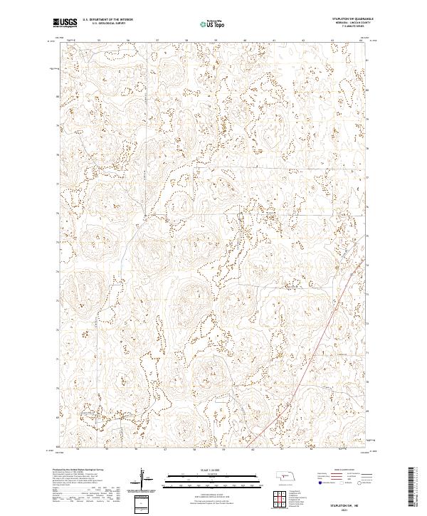
1972 Stapleton SE
Lincoln County, NE
1972 Stapleton SW
Lincoln County, NE

1973 Melton Ranch Airport
Lincoln County, NE
1973 Wallace NE
Lincoln County, NE
1973 Wallace NW
Lincoln County, NE
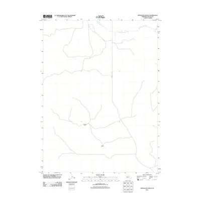
2011 Applegate Ranch
Lincoln County, NE
2011 Brady NE
Lincoln County, NE
2011 Brady NW
Lincoln County, NE
2011 Brady SW
Lincoln County, NE
2011 Dickens
Lincoln County, NE
2011 Dickens NE
Lincoln County, NE
2011 Dickens NW
Lincoln County, NE
2011 Gandy SW
Lincoln County, NE
2011 Good Hope Cemetery
Lincoln County, NE
2011 Green Ranch
Lincoln County, NE
2011 Hershey East
Lincoln County, NE
2011 Hershey West
Lincoln County, NE
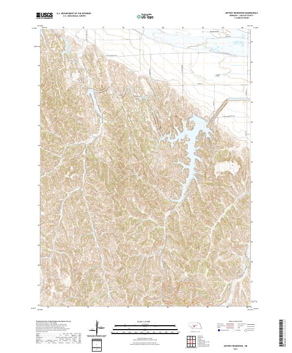
2011 Jeffrey Reservoir
Lincoln County, NE
2011 Jeffrey Reservoir NE
Lincoln County, NE
2011 Jeffrey Reservoir SE
Lincoln County, NE
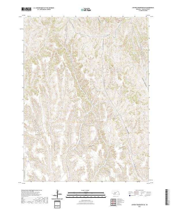
2011 Jeffrey Reservoir SW
Lincoln County, NE
2011 Kilmer Valley
Lincoln County, NE
2011 Lake Maloney
Lincoln County, NE
2011 Maxwell NE
Lincoln County, NE
2011 Maxwell SW
Lincoln County, NE
2011 Melton Ranch Airport
Lincoln County, NE
2011 North of Hershey
Lincoln County, NE
2011 North Platte East
Lincoln County, NE
2011 North Platte SW
Lincoln County, NE
2011 North Platte West
Lincoln County, NE
2011 Somerset
Lincoln County, NE
2011 Stapleton SE
Lincoln County, NE
2011 Stapleton SW
Lincoln County, NE
2011 Sutherland Reservoir East
Lincoln County, NE

2011 Sutherland Reservoir NW
Lincoln County, NE
2011 Sutherland Reservoir West
Lincoln County, NE
2011 Wallace NE
Lincoln County, NE
2011 Wallace NW
Lincoln County, NE
2011 Wellfleet NE
Lincoln County, NE
2011 Wellfleet NW
Lincoln County, NE
2011 Wellfleet SE
Lincoln County, NE
2014 Applegate Ranch
Lincoln County, NE
2014 Brady NE
Lincoln County, NE
2014 Brady NW
Lincoln County, NE
2014 Brady SW
Lincoln County, NE
2014 Dickens
Lincoln County, NE
2014 Dickens NE
Lincoln County, NE
2014 Dickens NW
Lincoln County, NE
2014 Gandy SW
Lincoln County, NE
2014 Good Hope Cemetery
Lincoln County, NE
2014 Green Ranch
Lincoln County, NE
2014 Hershey East
Lincoln County, NE
2014 Hershey West
Lincoln County, NE

2014 Jeffrey Reservoir
Lincoln County, NE
2014 Jeffrey Reservoir NE
Lincoln County, NE
2014 Jeffrey Reservoir SE
Lincoln County, NE
2014 Jeffrey Reservoir SW
Lincoln County, NE
2014 Kilmer Valley
Lincoln County, NE
2014 Lake Maloney
Lincoln County, NE
2014 Maxwell NE
Lincoln County, NE
2014 Maxwell SW
Lincoln County, NE
2014 Melton Ranch Airport
Lincoln County, NE
2014 North of Hershey
Lincoln County, NE
2014 North Platte East
Lincoln County, NE

2014 North Platte SW
Lincoln County, NE
2014 North Platte West
Lincoln County, NE
2014 Somerset
Lincoln County, NE
2014 Stapleton SE
Lincoln County, NE
2014 Stapleton SW
Lincoln County, NE
2014 Sutherland Reservoir East
Lincoln County, NE
2014 Sutherland Reservoir NW
Lincoln County, NE
2014 Sutherland Reservoir West
Lincoln County, NE
2014 Wallace NE
Lincoln County, NE
2014 Wallace NW
Lincoln County, NE
2014 Wellfleet NE
Lincoln County, NE
2014 Wellfleet NW
Lincoln County, NE
2014 Wellfleet SE
Lincoln County, NE
2017 Applegate Ranch
Lincoln County, NE
2017 Brady NE
Lincoln County, NE
2017 Brady NW
Lincoln County, NE
2017 Brady SW
Lincoln County, NE
2017 Dickens
Lincoln County, NE
2017 Dickens NE
Lincoln County, NE
2017 Dickens NW
Lincoln County, NE
2017 Gandy SW
Lincoln County, NE
2017 Good Hope Cemetery
Lincoln County, NE
2017 Green Ranch
Lincoln County, NE
2017 Hershey East
Lincoln County, NE
2017 Hershey West
Lincoln County, NE
2017 Jeffrey Reservoir
Lincoln County, NE
2017 Jeffrey Reservoir NE
Lincoln County, NE
2017 Jeffrey Reservoir SE
Lincoln County, NE
2017 Jeffrey Reservoir SW
Lincoln County, NE
2017 Kilmer Valley
Lincoln County, NE
2017 Lake Maloney
Lincoln County, NE
2017 Maxwell NE
Lincoln County, NE
2017 Maxwell SW
Lincoln County, NE
2017 Melton Ranch Airport
Lincoln County, NE
2017 North of Hershey
Lincoln County, NE
2017 North Platte East
Lincoln County, NE
2017 North Platte SW
Lincoln County, NE
2017 North Platte West
Lincoln County, NE
2017 Somerset
Lincoln County, NE
2017 Stapleton SE
Lincoln County, NE
2017 Stapleton SW
Lincoln County, NE
2017 Sutherland Reservoir East
Lincoln County, NE
2017 Sutherland Reservoir NW
Lincoln County, NE
2017 Sutherland Reservoir West
Lincoln County, NE
2017 Wallace NE
Lincoln County, NE
2017 Wallace NW
Lincoln County, NE
2017 Wellfleet NE
Lincoln County, NE
2017 Wellfleet NW
Lincoln County, NE
2017 Wellfleet SE
Lincoln County, NE
2021 Applegate Ranch
Lincoln County, NE
2021 Brady NE
Lincoln County, NE
2021 Brady NW
Lincoln County, NE
2021 Brady SW
Lincoln County, NE
2021 Dickens
Lincoln County, NE
2021 Dickens NE
Lincoln County, NE
2021 Dickens NW
Lincoln County, NE
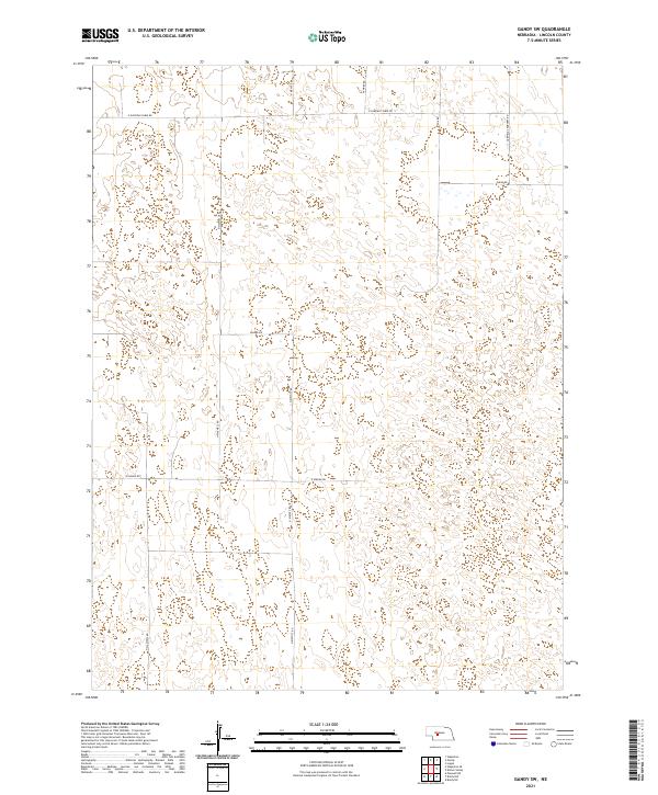
2021 Gandy SW
Lincoln County, NE
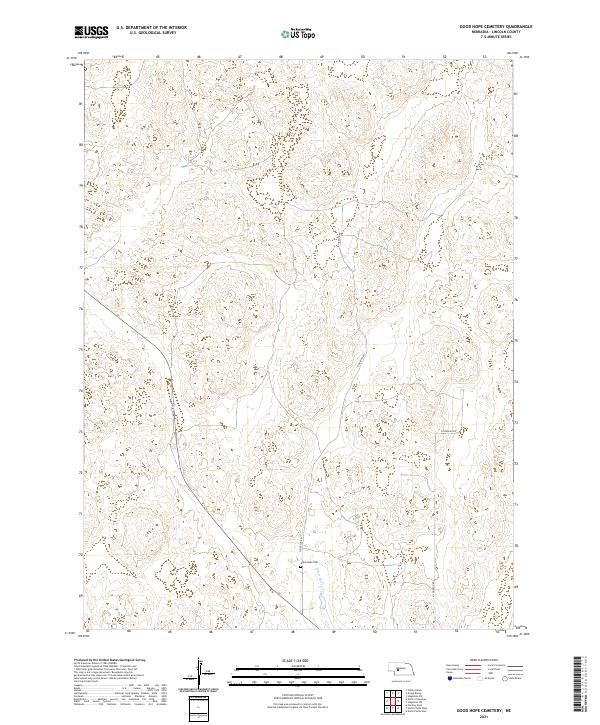
2021 Good Hope Cemetery
Lincoln County, NE
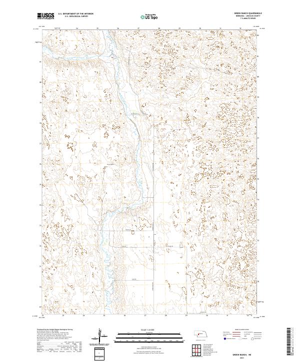
2021 Green Ranch
Lincoln County, NE
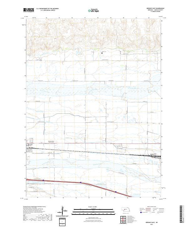
2021 Hershey East
Lincoln County, NE
2021 Hershey West
Lincoln County, NE
2021 Jeffrey Reservoir
Lincoln County, NE
2021 Jeffrey Reservoir NE
Lincoln County, NE
2021 Jeffrey Reservoir SE
Lincoln County, NE
2021 Jeffrey Reservoir SW
Lincoln County, NE
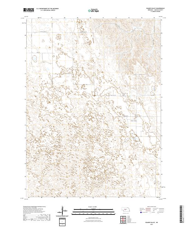
2021 Kilmer Valley
Lincoln County, NE
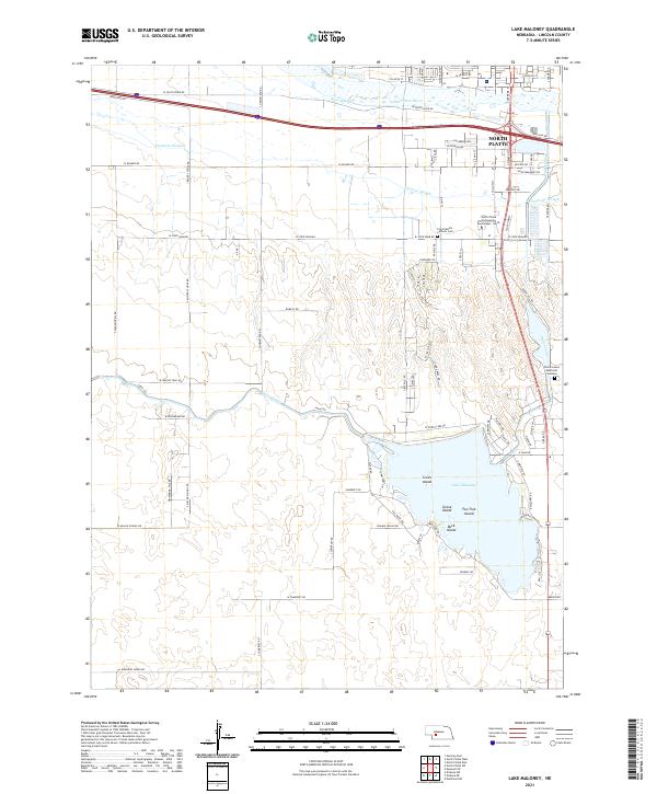
2021 Lake Maloney
Lincoln County, NE
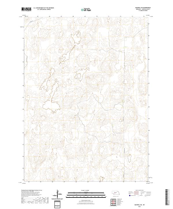
2021 Maxwell NE
Lincoln County, NE
2021 Maxwell SW
Lincoln County, NE
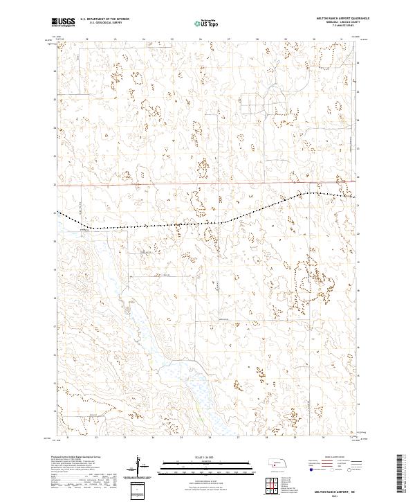
2021 Melton Ranch Airport
Lincoln County, NE
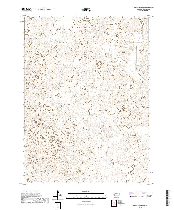
2021 North of Hershey
Lincoln County, NE
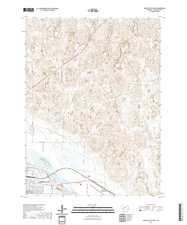
2021 North Platte East
Lincoln County, NE
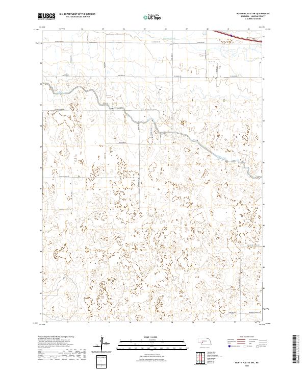
2021 North Platte SW
Lincoln County, NE
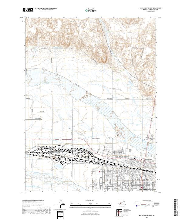
2021 North Platte West
Lincoln County, NE
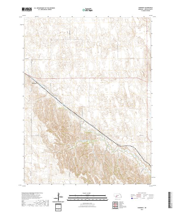
2021 Somerset
Lincoln County, NE
2021 Stapleton SE
Lincoln County, NE
2021 Stapleton SW
Lincoln County, NE
2021 Sutherland Reservoir East
Lincoln County, NE
2021 Sutherland Reservoir NW
Lincoln County, NE
2021 Sutherland Reservoir West
Lincoln County, NE
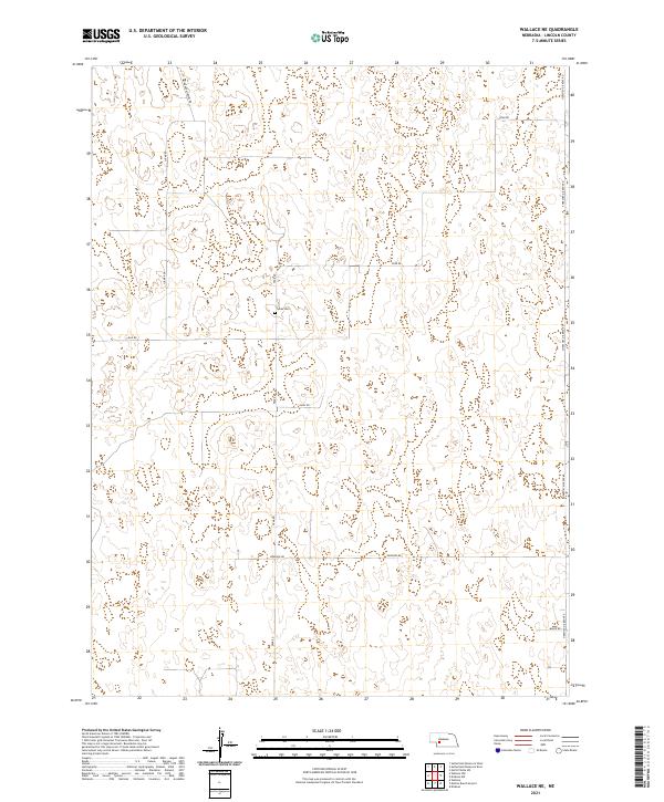
2021 Wallace NE
Lincoln County, NE
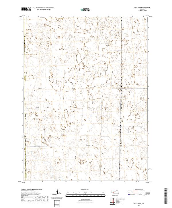
2021 Wallace NW
Lincoln County, NE
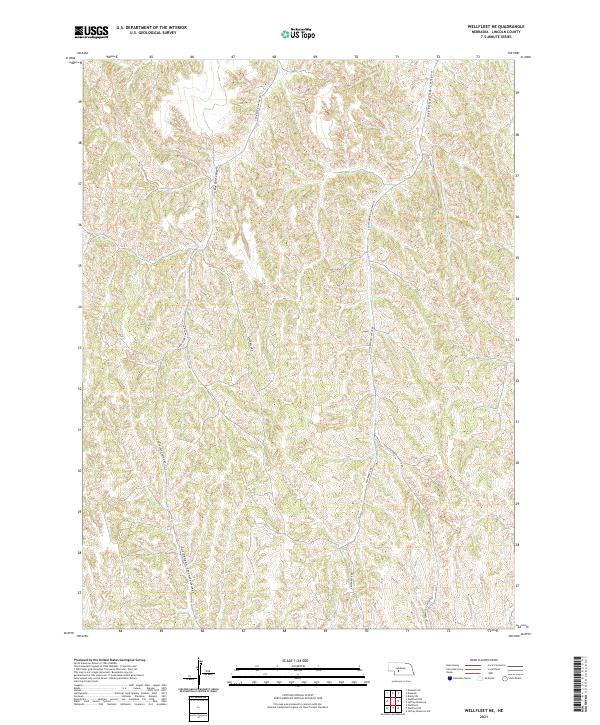
2021 Wellfleet NE
Lincoln County, NE
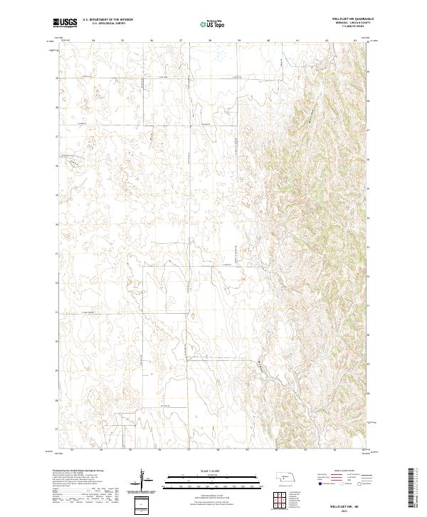
2021 Wellfleet NW
Lincoln County, NE
2021 Wellfleet SE
Lincoln County, NE