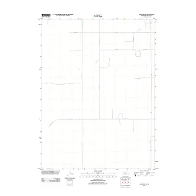
2011 Map of Dickens NE
USGS Topo · Published 2011About this map
Lincoln County agricultural lands are defined by a rhythmic grid of section lines and gravel roads in this 2011 survey. The landscape is dominated by the intersection of long-distance thoroughfares like S Somerset Rd and W Lone Star Rd, reflecting the expansive scale of Nebraska's farming and ranching operations. Significant family and descriptive names are preserved in the road network, including W Watts Rd, W Kaneb Rd, and S Hunter Rd. This map captures the region's essential character as a high-plains interior, where the human footprint is primarily marked by the structured geometry of homestead access and transport routes like S Homestead Rd and S Charles Ave.
Find a feature on this map
10 named features on this map. Tap any name to fly to it.
Don’t see what you’re looking for? This feature index may not catch every label — zoom into the map to look around manually.
Map Details
Editions of this 2011 Dickens NE Map
This is the sole edition of this map. No revisions or reprints were ever made.
Other maps of this area

1899 · North Platte
USGS Topo · 1:125,000

1902 · North Platte
USGS Topo · 1:125,000

1954 · McCook
USGS Topo · 1:250,000

1954 · North Platte
USGS Topo · 1:250,000

1956 · North Platte
USGS Topo · 1:250,000

1956 · Wellfleet NW
USGS Topo · 1:24,000

1956 · Dickens
USGS Topo · 1:24,000

1956 · Somerset
USGS Topo · 1:24,000

1956 · Wellfleet
USGS Topo · 1:24,000

1957 · North Platte
USGS Topo · 1:250,000