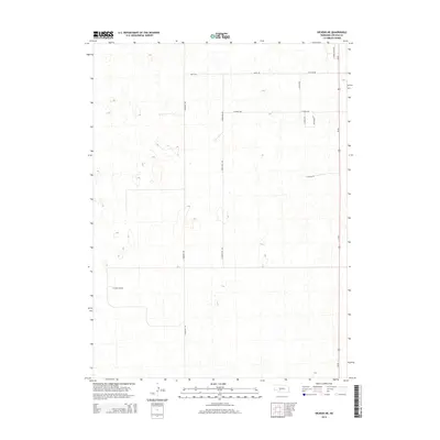
2014 Map of Dickens NE
USGS Topo · Published 2014About this map
The high plains of Lincoln County are defined here by a systematic grid of section roads and the prominent north-south corridor of Us-83. This landscape is characterized by its agricultural geometry, where long straight stretches like Watts Rd and W Watts Rd mark the boundaries of rural parcels. The terrain is dotted with numerous small depressions and basins typical of the Nebraska Sandhills periphery, creating a complex natural topography beneath the human-imposed lines of transit.
Find a feature on this map
12 named features on this map. Tap any name to fly to it.
Don’t see what you’re looking for? This feature index may not catch every label — zoom into the map to look around manually.
Map Details
Editions of this 2014 Dickens NE Map
This is the sole edition of this map. No revisions or reprints were ever made.
Other maps of this area

1899 · North Platte
USGS Topo · 1:125,000

1902 · North Platte
USGS Topo · 1:125,000

1954 · McCook
USGS Topo · 1:250,000

1954 · North Platte
USGS Topo · 1:250,000

1956 · North Platte
USGS Topo · 1:250,000

1956 · Wellfleet NW
USGS Topo · 1:24,000

1956 · Dickens
USGS Topo · 1:24,000

1956 · Somerset
USGS Topo · 1:24,000

1956 · Wellfleet
USGS Topo · 1:24,000

1957 · North Platte
USGS Topo · 1:250,000