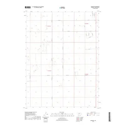
2017 Map of Dickens NE
USGS Topo · Published 2017About this map
Lincoln County rangeland and sectional grid lines define this corner of Nebraska, dominated by a network of rural roads and north-south section lines. Long-standing family-named thoroughfares like S Homestead Rd and S Somerset Rd divide the landscape, illustrating the systematic land division of the High Plains. The area's agricultural and residential character is evident in the cluster of names in the northeastern corner, including Whispering Pines Ln, Horse Haven Ln, and Shirley Ave. This 2017 survey reflects the persistent geometry of the Great Plains, where major east-west arteries like W Watts Rd and W Lone Star Rd provide essential connectivity across the vast open country between established townships.
Find a feature on this map
18 named features on this map. Tap any name to fly to it.
Don’t see what you’re looking for? This feature index may not catch every label — zoom into the map to look around manually.
Map Details
Editions of this 2017 Dickens NE Map
This is the sole edition of this map. No revisions or reprints were ever made.
Other maps of this area

1899 · North Platte
USGS Topo · 1:125,000

1902 · North Platte
USGS Topo · 1:125,000

1954 · McCook
USGS Topo · 1:250,000

1954 · North Platte
USGS Topo · 1:250,000

1956 · North Platte
USGS Topo · 1:250,000

1956 · Wellfleet NW
USGS Topo · 1:24,000

1956 · Dickens
USGS Topo · 1:24,000

1956 · Somerset
USGS Topo · 1:24,000

1956 · Wellfleet
USGS Topo · 1:24,000

1957 · North Platte
USGS Topo · 1:250,000