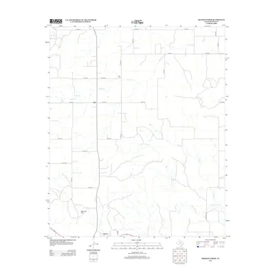
2012 Map of Dickens North
USGS Topo · Published 2012About this map
Mackenzie Peak stands as a prominent topographical feature in this northern portion of Dickens County, overseeing a landscape defined by an intricate network of drainage systems. The small community of Elton sits along the northern road corridors, while the town of Dickens occupies the southern edge of the sheet. The area's settlement history is marked by the presence of Amity Cem, located near the winding path of Washout Cr. This region of West Texas is characterized by its numerous intermittent waterways, including Little Croton Cr, Boggy Cr, and Croton Cr, which carve through the terrain. The inclusion of Dickens Spring highlights a vital local water source that has likely influenced the placement of early ranching and town developments in this arid environment.
Find a feature on this map
28 named features on this map. Tap any name to fly to it.
Don’t see what you’re looking for? This feature index may not catch every label — zoom into the map to look around manually.
Map Details
Editions of this 2012 Dickens North Map
This is the sole edition of this map. No revisions or reprints were ever made.
Other maps of this area

1954 · Lubbock
USGS Topo · 1:250,000

1967 · Dickens North
USGS Topo · 1:24,000

1967 · Dickens South
USGS Topo · 1:24,000

1967 · Haystack Mountain
USGS Topo · 1:24,000

1968 · East Afton
USGS Topo · 1:24,000

1968 · Foreman Chapel
USGS Topo · 1:24,000

1968 · Croton Camp
USGS Topo · 1:24,000

1968 · Rustler Camp
USGS Topo · 1:24,000

1968 · Sanders Hollow
USGS Topo · 1:24,000

1968 · Afton
USGS Topo · 1:24,000