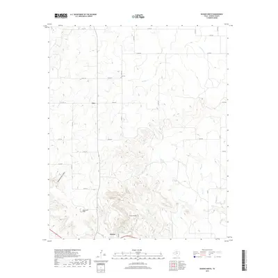
2019 Map of Dickens North
USGS Topo · Published 2019About this map
Croton Breaks dominate the southern portion of this Dickens County landscape, where the broken terrain of the Rolling Plains meets the Caprock. Near the southern edge of the sheet, the town of Dickens sits near the headwaters of Croton Creek, supported by the historically significant Dickens Spring. The map captures a transition from the rugged topography of Hobble Scabble Canyon and Mackenzie Peak in the west to the more open ranching country around Elton in the north. A network of county roads, including Co RD 132 and Co RD 232, connects scattered homesites and the remote Amity Cem. Drainage patterns are clearly defined by the intermittent flows of Washout Creek, Boggy Creek, and Little Croton Creek, illustrating the erosional forces that have shaped this distinctive West Texas environment.
Find a feature on this map
30 named features on this map. Tap any name to fly to it.
Don’t see what you’re looking for? This feature index may not catch every label — zoom into the map to look around manually.
Map Details
Editions of this 2019 Dickens North Map
This is the sole edition of this map. No revisions or reprints were ever made.
Other maps of this area

1954 · Lubbock
USGS Topo · 1:250,000

1967 · Dickens North
USGS Topo · 1:24,000

1967 · Dickens South
USGS Topo · 1:24,000

1967 · Haystack Mountain
USGS Topo · 1:24,000

1968 · East Afton
USGS Topo · 1:24,000

1968 · Foreman Chapel
USGS Topo · 1:24,000

1968 · Croton Camp
USGS Topo · 1:24,000

1968 · Rustler Camp
USGS Topo · 1:24,000

1968 · Sanders Hollow
USGS Topo · 1:24,000

1968 · Afton
USGS Topo · 1:24,000