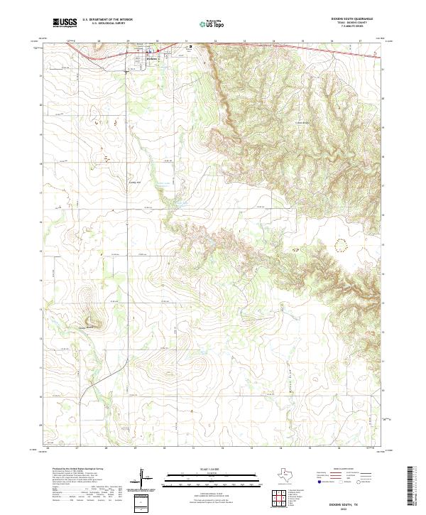
2022 Map of Dickens South
USGS Topo · Published 2022About this map
Dickens, the county seat of Dickens County, sits at the northern edge of a landscape defined by dramatic geological transitions. The town center is anchored by the Dickens County Courthouse, with the nearby Dickens Cem serving as a local genealogical landmark. South of the settlement, the terrain shifts from open plains into the intricate, dissected topography of the Croton Breaks.
Find a feature on this map
31 named features on this map. Tap any name to fly to it.
Don’t see what you’re looking for? This feature index may not catch every label — zoom into the map to look around manually.
Map Details
Editions of this 2022 Dickens South Map
This is the sole edition of this map. No revisions or reprints were ever made.
Other maps of this area

1954 · Lubbock
USGS Topo · 1:250,000

1959 · Gilpin
USGS Topo · 1:24,000

1967 · Dickens North
USGS Topo · 1:24,000

1967 · Dickens South
USGS Topo · 1:24,000

1967 · Spur
USGS Topo · 1:24,000

1967 · Haystack Mountain
USGS Topo · 1:24,000

1967 · Spur NW
USGS Topo · 1:24,000

1968 · East Afton
USGS Topo · 1:24,000

1968 · Foreman Chapel
USGS Topo · 1:24,000

1968 · Croton Camp
USGS Topo · 1:24,000