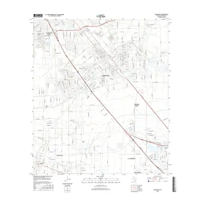
2016 Map of Dickinson
USGS Topo · Published 2016About this map
The coastal prairie of Galveston County is defined here by the winding course of Dickinson Bayou, which meanders eastward toward the bay through Dickinson. This mid-2010s survey shows a landscape of established suburban growth and critical transportation corridors, including the prominent Gulf Fwy and Galveston Rd. These routes connect the primary residential hubs of League City and La Marque, while the western portion of the map retains a more grid-like, rural-to-suburban character around Santa Fe and the settlement of Arcadia.
Find a feature on this map
33 named features on this map. Tap any name to fly to it.
Don’t see what you’re looking for? This feature index may not catch every label — zoom into the map to look around manually.
Map Details
Editions of this 2016 Dickinson Map
This is the sole edition of this map. No revisions or reprints were ever made.
Other maps of this area

1916 · Genoa
USGS Topo · 1:24,000

1916 · Seabrook
USGS Topo · 1:24,000

1920 · Seabrook
USGS Topo · 1:31,680

1920 · Genoa
USGS Topo · 1:31,680

1929 · Dickinson
USGS Topo · 1:24,000

1929 · Algoa
USGS Topo · 1:24,000

1929 · Hitchcock
USGS Topo · 1:24,000

1929 · Virginia Point
USGS Topo · 1:24,000

1929 · Texas City
USGS Topo · 1:24,000

1932 · Algoa
USGS Topo · 1:31,680