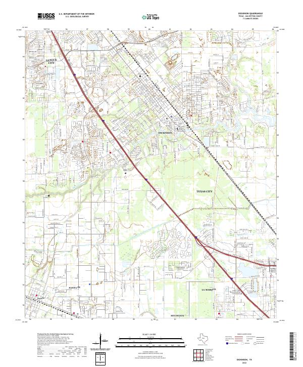
2022 Map of Dickinson
USGS Topo · Published 2022About this map
Dickinson and its surrounding communities are defined by a complex network of coastal waterways and modern transportation corridors in this 2022 survey. The winding path of Dickinson Bayou and Benson Bayou contrasts with the linear precision of the Galveston County Water Company Canal, illustrating the managed hydrology of the Texas Gulf Coast. Long-standing local history is preserved in several burial grounds, including the Magnolia Cem, Dickinson Cem, and Mount Olivet Catholic Cem, while the historic community of Arcadia remains visible near the western edge of the sheet. Educational and commercial infrastructure centers around the College of the Mainland and the Mall of Mainland Pkwy, reflecting the continued urbanization of the corridor between League City and Texas City.
Find a feature on this map
37 named features on this map. Tap any name to fly to it.
Don’t see what you’re looking for? This feature index may not catch every label — zoom into the map to look around manually.
Map Details
Editions of this 2022 Dickinson Map
This is the sole edition of this map. No revisions or reprints were ever made.
Other maps of this area

1916 · Genoa
USGS Topo · 1:24,000

1916 · Seabrook
USGS Topo · 1:24,000

1920 · Seabrook
USGS Topo · 1:31,680

1920 · Genoa
USGS Topo · 1:31,680

1929 · Dickinson
USGS Topo · 1:24,000

1929 · Algoa
USGS Topo · 1:24,000

1929 · Hitchcock
USGS Topo · 1:24,000

1929 · Virginia Point
USGS Topo · 1:24,000

1929 · Texas City
USGS Topo · 1:24,000

1932 · Algoa
USGS Topo · 1:31,680