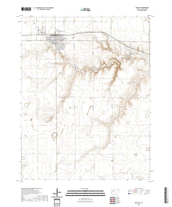
2022 Map of Dighton
USGS Topo · Published 2022About this map
Dighton serves as the central hub of this High Plains landscape, where the intersection of state routes and local section roads anchors the surrounding agricultural grid. The town is home to the Lane County Courthouse, a focal point for the regional community, while the Dighton Airport and Dighton Cem sit on the periphery. The terrain is defined by the incision of local waterways through the plains, including the winding paths of S Fork Walnut Cr to the north and Buffalo Cr further south.
Find a feature on this map
27 named features on this map. Tap any name to fly to it.
Don’t see what you’re looking for? This feature index may not catch every label — zoom into the map to look around manually.
Map Details
Editions of this 2022 Dighton Map
This is the sole edition of this map. No revisions or reprints were ever made.
Other maps of this area

1955 · Scott City
USGS Topo · 1:250,000

1958 · Scott City
USGS Topo · 1:250,000

1974 · Dighton SW
USGS Topo · 1:24,000

1974 · Amy SE
USGS Topo · 1:24,000

1974 · Dighton
USGS Topo · 1:24,000

1974 · Alamota
USGS Topo · 1:24,000

1974 · Dighton SE
USGS Topo · 1:24,000

1974 · Amy
USGS Topo · 1:24,000

1974 · Healy
USGS Topo · 1:24,000

1974 · Shields SE
USGS Topo · 1:24,000