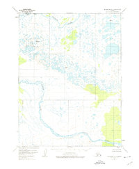
1951 Map of Dillingham A-1
USGS Topo · Published 1974About this map
The Kvichak River and the meandering Alagnak River dominate this 1951 landscape, which was primarily mapped via photogrammetric methods from aerial photographs. This remote reach of Alaska is characterized by a complex network of wetlands and small water bodies, with very little human development evident beyond a lone Cabin situated along a northern river bend. Surveyors from the era established several vertical angle bench marks across the terrain, including VABM 408 Yenuk and VABM 197 Nak, to navigate the low-relief marshlands. The lack of roads or established trails at the time of the survey highlights the reliance on these waterways for access and navigation within the Bristol Bay region.
Find a feature on this map
6 named features on this map. Tap any name to fly to it.
Don’t see what you’re looking for? This feature index may not catch every label — zoom into the map to look around manually.
Map Details
Editions of this 1951 Dillingham A-1 Map
4 editions found
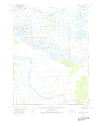
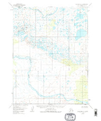
Other maps of this area

1948 · Mt Katmai
USGS Topo · 1:250,000

1951 · Dillingham
USGS Topo · 1:250,000

1951 · Mt Katmai
USGS Topo · 1:250,000

1951 · Naknek D-1
USGS Topo · 1:63,360

1951 · Mount Katmai D-6
USGS Topo · 1:63,360

1951 · Iliamna A-8
USGS Topo · 1:63,360

1951 · Dillingham A-1
USGS Topo · 1:63,360

1952 · Iliamna
USGS Topo · 1:250,000

1952 · Naknek
USGS Topo · 1:250,000

1952 · Dillingham A-2
USGS Topo · 1:63,360