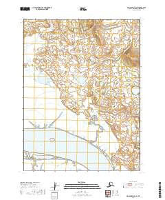
2019 Map of Dillingham A-6 SW
USGS Topo · Published 2019About this map
Nushagak River dominates the southern landscape of this coastal Alaskan region, where its wide waters meet the tidal reaches near Lewis Point. The terrain is defined by a complex network of wetlands and small ponds, illustrating the shifting alluvial nature of the river delta. To the northwest, the Little Muklung River meanders through low-lying ground, providing a classic example of the drainage patterns found in the Dillingham area. This 2019 survey documents the transition from riverine banks to the interior tundra, showing a landscape largely untouched by permanent road infrastructure or industrial development.
Find a feature on this map
7 named features on this map. Tap any name to fly to it.
Don’t see what you’re looking for? This feature index may not catch every label — zoom into the map to look around manually.
Map Details
Editions of this 2019 Dillingham A-6 SW Map
This is the sole edition of this map. No revisions or reprints were ever made.
Other maps of this area

1945 · Nushagak Bay
USGS Topo · 1:250,000

1949 · Nushagak Bay
USGS Topo · 1:250,000

1951 · Dillingham
USGS Topo · 1:250,000

1951 · Nushagak Bay
USGS Topo · 1:250,000

1952 · Dillingham A-6
USGS Topo · 1:63,360

1952 · Nushagak Bay D-1
USGS Topo · 1:63,360

1952 · Dillingham A-7
USGS Topo · 1:63,360

1954 · Dillingham
USGS Topo · 1:250,000

1964 · Nushagak Bay
USGS Topo · 1:250,000
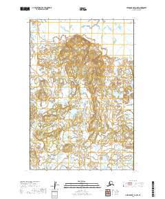
2019 · Nushagak Bay D-1 NW
USGS Topo · 1:25,000