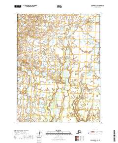
2019 Map of Dillingham B-2 SW
USGS Topo · Published 2019About this map
Low-lying marshlands and extensive wetland networks define this remote Alaskan landscape in the Lake and Peninsula Borough. The terrain is characterized by a high density of small lakes and ponds, as documented by the FWS National Wetlands Inventory, showing a complex hydrological system typical of the region. Surveyed as part of the Public Land Survey System, the map detail encompasses portions of t9s r44w, t10s r44w, and t11s r44w as they existed in the late 2010s. This survey focuses almost entirely on the natural topography of the area, providing a specialized look at the drainage patterns and unpopulated wilderness within the Dillingham B-2 SW quadrangle.
Find a feature on this map
6 named features on this map. Tap any name to fly to it.
Don’t see what you’re looking for? This feature index may not catch every label — zoom into the map to look around manually.
Map Details
Editions of this 2019 Dillingham B-2 SW Map
This is the sole edition of this map. No revisions or reprints were ever made.
Other maps of this area

1951 · Dillingham
USGS Topo · 1:250,000

1952 · Dillingham A-2
USGS Topo · 1:63,360

1952 · Dillingham A-3
USGS Topo · 1:63,360

1954 · Dillingham
USGS Topo · 1:250,000
1954 · Dillingham B-2
USGS Topo · 1:63,360

1954 · Dillingham B-3
USGS Topo · 1:63,360
2019 · Dillingham A-2 NW
USGS Topo · 1:25,000
2019 · Dillingham A-2 NE
USGS Topo · 1:25,000
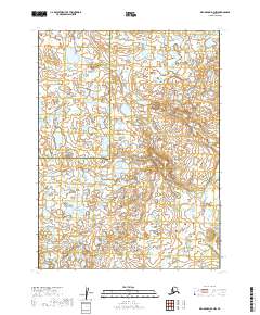
2019 · Dillingham B-2 NW
USGS Topo · 1:25,000
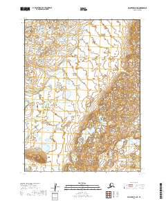
2019 · Dillingham B-2 NE
USGS Topo · 1:25,000