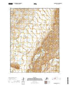
2019 Map of Dillingham B-2 NE
USGS Topo · Published 2019About this map
Iron Creek meanders through this portion of the Lake and Peninsula Borough, defining a landscape dominated by extensive wetlands and glacial features. Mapping from the U.S. Geological Survey and imagery from Spot clarify the complex drainage patterns and small water bodies that characterize this sub-arctic terrain. The absence of roads or established settlements on this 2019 sheet highlights the isolated nature of the Bristol Bay region, where land management is divided between the Bureau of Land Management and the U.S. Fish and Wildlife Service. Survey lines for townships such as T8s R43w and T9s R42w provide the primary framework for locating specific tracts of wilderness. Local hydrography data recorded between 2001 and 2018 captures the shifting character of the waterways in a region largely untouched by permanent infrastructure.
Find a feature on this map
5 named features on this map. Tap any name to fly to it.
Don’t see what you’re looking for? This feature index may not catch every label — zoom into the map to look around manually.
Map Details
Editions of this 2019 Dillingham B-2 NE Map
This is the sole edition of this map. No revisions or reprints were ever made.
Other maps of this area

1951 · Dillingham
USGS Topo · 1:250,000

1954 · Dillingham
USGS Topo · 1:250,000

1954 · Dillingham C-1
USGS Topo · 1:63,360
1954 · Dillingham B-2
USGS Topo · 1:63,360

1954 · Dillingham C-2
USGS Topo · 1:63,360
1954 · Dillingham B-1
USGS Topo · 1:63,360
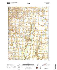
2019 · Dillingham B-2 SW
USGS Topo · 1:25,000
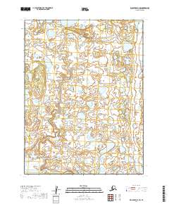
2019 · Dillingham B-1 SW
USGS Topo · 1:25,000
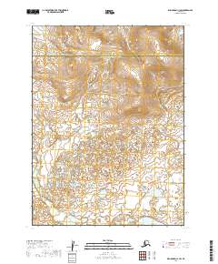
2019 · Dillingham C-1 SW
USGS Topo · 1:25,000
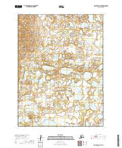
2019 · Dillingham B-1 NW
USGS Topo · 1:25,000