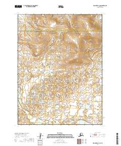
2019 Map of Dillingham C-1 SW
USGS Topo · Published 2019About this map
The political boundary between Dillingham Census Area and the Lake and Peninsula Borough bisects this remote Alaskan landscape, marking a transition in regional administration. The terrain is characterized by a stark contrast between high, sharply contoured elevations in the north and a densely pockmarked lowland of wetlands and small water bodies to the south. Surveyed using SPOT imagery from 2008 and updated hydrography through 2017, the map illustrates the complex drainage patterns of this subarctic wilderness. The lack of named roads or settlements underscores the area's isolation, where the topography is defined by the Public Land Survey System grids of t6s r41w, t7s r41w, and surrounding townships, providing a foundational record of land divisions in this interior region.
Find a feature on this map
7 named features on this map. Tap any name to fly to it.
Don’t see what you’re looking for? This feature index may not catch every label — zoom into the map to look around manually.
Map Details
Editions of this 2019 Dillingham C-1 SW Map
This is the sole edition of this map. No revisions or reprints were ever made.
Other maps of this area

1951 · Dillingham
USGS Topo · 1:250,000

1954 · Dillingham
USGS Topo · 1:250,000

1954 · Dillingham C-1
USGS Topo · 1:63,360
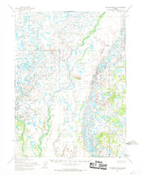
1954 · Dillingham B-2
USGS Topo · 1:63,360

1954 · Dillingham C-2
USGS Topo · 1:63,360
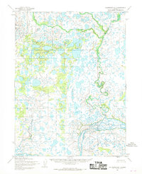
1954 · Dillingham B-1
USGS Topo · 1:63,360
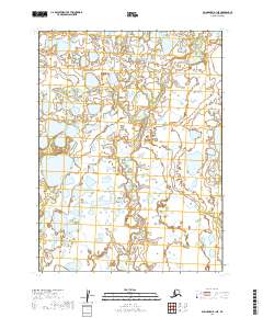
2019 · Dillingham B-1 NE
USGS Topo · 1:25,000
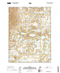
2019 · Dillingham B-1 NW
USGS Topo · 1:25,000
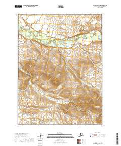
2019 · Dillingham C-2 NE
USGS Topo · 1:25,000
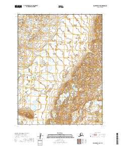
2019 · Dillingham B-2 NE
USGS Topo · 1:25,000