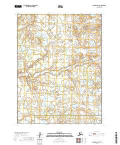
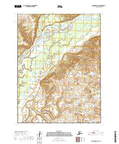
2019 Map of Dillingham B-4 SE
USGS Topo · Published 2019About this map
Lower Klutuk Cr meanders across this interior landscape within the Dillingham Census Area Lake and Peninsula Borough, defining a remote terrain of low-lying wetlands and complex watercourses. The 2019 survey documents a vast network of ponds and small lakes that characterize this part of the Alaskan wilderness. In the southern reaches of the sheet, Lookout Cr flows through the township of T11S R48W, contributing to the drainage of this unpopulated stretch of the bush.
Find a feature on this map
9 named features on this map. Tap any name to fly to it.
Don’t see what you’re looking for? This feature index may not catch every label — zoom into the map to look around manually.
Map Details
Editions of this 2019 Dillingham B-4 SE Map
This is the sole edition of this map. No revisions or reprints were ever made.
Other maps of this area

1951 · Dillingham
USGS Topo · 1:250,000

1952 · Dillingham A-4
USGS Topo · 1:63,360

1952 · Dillingham A-3
USGS Topo · 1:63,360

1954 · Dillingham
USGS Topo · 1:250,000

1954 · Dillingham B-4
USGS Topo · 1:63,360

1954 · Dillingham B-3
USGS Topo · 1:63,360
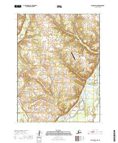
2019 · Dillingham B-4 NW
USGS Topo · 1:25,000
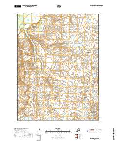
2019 · Dillingham B-3 NW
USGS Topo · 1:25,000
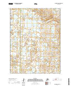
2019 · Dillingham A-4 NE
USGS Topo · 1:25,000
2019 · Dillingham B-4 NE
USGS Topo · 1:25,000