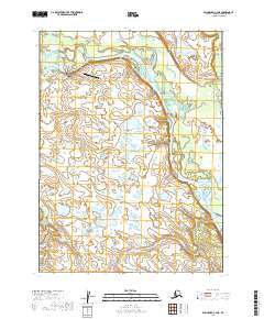
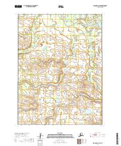
2019 Map of Dillingham C-4 NE
USGS Topo · Published 2019About this map
Koliganek sits along the winding course of the Nushagak River, serving as a central hub for this river-dependent landscape in southwest Alaska. The settlement is linked to the surrounding wilderness by a small network of local roads including Nushagak Road, Quigami Road, and Koliganek Airport Road. These transport corridors, alongside the Koliganek Airport, highlight the essential infrastructure required for remote residency and travel in the Dillingham Census Area. The river system remains the dominant geographic feature, with Cranberry Cr feeding into the main channel amidst a complex pattern of wetlands and braided waterways. This 2019 survey documents the modern footprint of a community where traditional river access and modern aviation intersect, preserving the layout of the town and its vital connections to the broader Alaskan interior.
Find a feature on this map
11 named features on this map. Tap any name to fly to it.
Don’t see what you’re looking for? This feature index may not catch every label — zoom into the map to look around manually.
Map Details
Editions of this 2019 Dillingham C-4 NE Map
This is the sole edition of this map. No revisions or reprints were ever made.
Other maps of this area

1951 · Dillingham
USGS Topo · 1:250,000

1954 · Dillingham
USGS Topo · 1:250,000

1954 · Dillingham C-3
USGS Topo · 1:63,360

1954 · Dillingham D-3
USGS Topo · 1:63,360

1954 · Dillingham D-4
USGS Topo · 1:63,360

1954 · Dillingham C-4
USGS Topo · 1:63,360
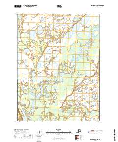
2019 · Dillingham C-3 NW
USGS Topo · 1:25,000
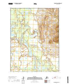
2019 · Dillingham D-4 SW
USGS Topo · 1:25,000
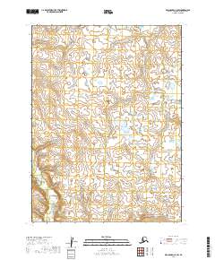
2019 · Dillingham C-4 SW
USGS Topo · 1:25,000
2019 · Dillingham C-4 NW
USGS Topo · 1:25,000