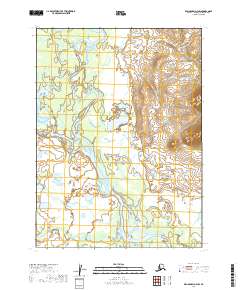
2019 Map of Dillingham D-4 SW
USGS Topo · Published 2019About this map
Nushagak River and its major tributary, the Nuyakuk River, dominate this Alaskan interior landscape at the confluence of several major townships. This survey reveals a complex hydrological network where the rivers meander through wide floodplains, characterized by numerous oxbows, side channels, and wetlands. In the southern portion of the sheet, Napotoli Cr feeds into the primary river system, indicating the low-lying, water-saturated nature of the Dillingham Census Area terrain. The absence of roads or permanent settlements in this 2019 data reflects the preservation of a wild river corridor where seasonal water levels and shifting channels dictate the geography of the land.
Find a feature on this map
9 named features on this map. Tap any name to fly to it.
Don’t see what you’re looking for? This feature index may not catch every label — zoom into the map to look around manually.
Map Details
Editions of this 2019 Dillingham D-4 SW Map
This is the sole edition of this map. No revisions or reprints were ever made.
Other maps of this area

1951 · Dillingham
USGS Topo · 1:250,000

1954 · Dillingham
USGS Topo · 1:250,000
1954 · Dillingham D-5
USGS Topo · 1:63,360

1954 · Dillingham D-4
USGS Topo · 1:63,360

1954 · Dillingham C-4
USGS Topo · 1:63,360

1954 · Dillingham C-5
USGS Topo · 1:63,360
2019 · Dillingham D-4 NE
USGS Topo · 1:25,000
2019 · Dillingham C-5 NE
USGS Topo · 1:25,000
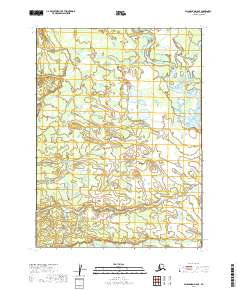
2019 · Dillingham D-5 SE
USGS Topo · 1:25,000
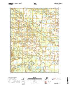
2019 · Dillingham D-5 NE
USGS Topo · 1:25,000