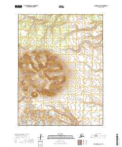
2019 Map of Dillingham C-6 NE
USGS Topo · Published 2019About this map
Kemuk Mountain dominates the central landscape of this interior Alaska quadrangle, its elevations rising sharply from the surrounding lowlands. The drainage pattern is defined by several meandering waterways, most notably Napotoli Creek, which winds through the northern sections, and Klutuk Creek, flowing toward the southeast. In the southern portion of the sheet, the headwaters of Kenakuchuk Creek emerge from the high ground. This area is characterized by significant topographic relief and an absence of developed infrastructure, reflecting a landscape shaped almost entirely by natural watercourses and geological formations. The map provides a precise record of the physical geography within the t5s r52w and t6s r51w townships, capturing the intricate contours of the mountain and its associated watersheds.
Find a feature on this map
8 named features on this map. Tap any name to fly to it.
Don’t see what you’re looking for? This feature index may not catch every label — zoom into the map to look around manually.
Map Details
Editions of this 2019 Dillingham C-6 NE Map
This is the sole edition of this map. No revisions or reprints were ever made.
Other maps of this area

1951 · Dillingham
USGS Topo · 1:250,000

1954 · Dillingham
USGS Topo · 1:250,000

1954 · Dillingham C-6
USGS Topo · 1:63,360

1954 · Dillingham D-6
USGS Topo · 1:63,360
1954 · Dillingham D-5
USGS Topo · 1:63,360

1954 · Dillingham C-5
USGS Topo · 1:63,360
2019 · Dillingham C-6 SE
USGS Topo · 1:25,000
2019 · Dillingham D-5 SW
USGS Topo · 1:25,000
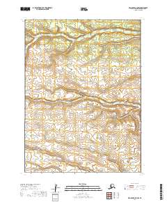
2019 · Dillingham C-5 NW
USGS Topo · 1:25,000
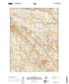
2019 · Dillingham C-5 SW
USGS Topo · 1:25,000