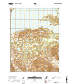
2019 Map of Dillingham D-7 NW
USGS Topo · Published 2019About this map
Nuyakuk Lake and Tikchik Lake define the northern and eastern boundaries of this wilderness landscape, highlighting the expansive freshwater systems of the Wood-Tikchik region. The terrain is marked by a complex system of elevations and drainage patterns within t2s r54w and t2s r53w, where the high country transitions toward the deep glacial lake basins. This 2019 survey documents the intricate topography of the area without the presence of modern roads or permanent settlements, preserving a view of the land in its natural state. Researchers of Alaskana will find the precise mapping of the lake shorelines and surrounding slopes essential for understanding the remote geography of the Dillingham Census Area.
Find a feature on this map
6 named features on this map. Tap any name to fly to it.
Don’t see what you’re looking for? This feature index may not catch every label — zoom into the map to look around manually.
Map Details
Editions of this 2019 Dillingham D-7 NW Map
This is the sole edition of this map. No revisions or reprints were ever made.
Other maps of this area

1950 · Taylor Mountains
USGS Topo · 1:250,000

1951 · Taylor Mountains
USGS Topo · 1:250,000

1951 · Dillingham
USGS Topo · 1:250,000

1954 · Taylor Mountains
USGS Topo · 1:250,000

1954 · Dillingham
USGS Topo · 1:250,000

1954 · Dillingham D-7
USGS Topo · 1:63,360

1954 · Taylor Mountains A-8
USGS Topo · 1:63,360

1954 · Dillingham D-8
USGS Topo · 1:63,360
1954 · Taylor Mountains A-7
USGS Topo · 1:63,360
2019 · Dillingham D-7 NE
USGS Topo · 1:25,000