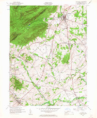
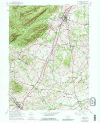
1952 Map of Dillsburg
USGS Topo · Published 1958About this map
Dillsburg stands as a primary hub of northern York County in the early 1950s, serving as a junction for local travel and commerce. The map reveals a landscape defined by its transition from the forested heights of South Middleton to the agricultural valleys of Latimore and Franklin townships. Tracing the northern ridge, the Appalachian Trail passes through landmarks like White Rocks and Center Point Knob, while the valley floor is dotted with small-town life and rural infrastructure. A notable concentration of community landmarks appears, from the Northern Joint High School in Carroll to scattered local institutions like Blackberry School and Gardners Church. The map also captures an interesting moment of local change, noting a Racetrack (Abandoned) near Bermudian Creek and the presence of traditional industry at Deardorffs Mill.
Find a feature on this map
64 named features on this map. Tap any name to fly to it.
Don’t see what you’re looking for? This feature index may not catch every label — zoom into the map to look around manually.
Map Details
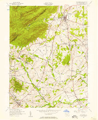
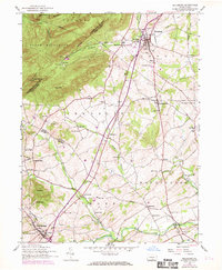
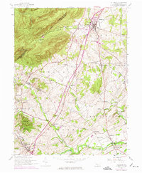
Editions of this 1952 Dillsburg Map
5 editions found
Other maps of this area

1904 · Carlisle
USGS Topo · 1:62,500

1906 · New Cumberland
USGS Topo · 1:62,500

1908 · Gettysburg
USGS Topo · 1:62,500

1920 · Hanover
USGS Topo · 1:62,500

1922 · Hanover
USGS Topo · 1:62,500

1942 · Gettysburg
USGS Topo · 1:125,000

1943 · New Cumberland
USGS Topo · 1:62,500

1943 · Carlisle
USGS Topo · 1:62,500
1944 · Biglerville
USGS Topo · 1:31,680

1944 · Hampton
USGS Topo · 1:31,680