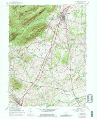
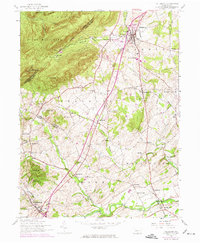
1952 Map of Dillsburg
USGS Topo · Published 1988About this map
York Springs and Dillsburg anchor this 1952 topographic study, showcasing a landscape defined by small-scale agriculture and a dense network of country roads. The map illustrates the transition from traditional milling to mid-century development, evidenced by Deardorffs Mill on Latimore Creek alongside newer infrastructure like the Northern Joint High School. The terrain is marked by the steep ridges of Long Mountain and Stone Head in the north, while the southern reaches level into the fertile valleys of Bermudian Creek.
Find a feature on this map
66 named features on this map. Tap any name to fly to it.
Don’t see what you’re looking for? This feature index may not catch every label — zoom into the map to look around manually.
Map Details
Editions of this 1952 Dillsburg Map
5 editions found
Other maps of this area

1904 · Carlisle
USGS Topo · 1:62,500

1906 · New Cumberland
USGS Topo · 1:62,500

1908 · Gettysburg
USGS Topo · 1:62,500

1920 · Hanover
USGS Topo · 1:62,500

1922 · Hanover
USGS Topo · 1:62,500

1942 · Gettysburg
USGS Topo · 1:125,000

1943 · New Cumberland
USGS Topo · 1:62,500

1943 · Carlisle
USGS Topo · 1:62,500
1944 · Biglerville
USGS Topo · 1:31,680

1944 · Hampton
USGS Topo · 1:31,680