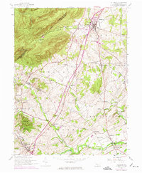
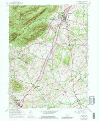
1952 Map of Dillsburg
USGS Topo · Published 1974About this map
Dillsburg and the surrounding borderlands of York and Adams counties appear here as a landscape transitioning from traditional agrarian roots to mid-century development. The map details a dense network of local education and faith, featuring numerous country schools like the Mechanicsville School and Blackberry School, alongside several rural congregations such as Gardners Church. The winding course of Bermudian Creek and Latimore Creek anchors the southern half of the sheet, where Deardorffs Mill stands as a marker of the area's milling history.
Find a feature on this map
64 named features on this map. Tap any name to fly to it.
Don’t see what you’re looking for? This feature index may not catch every label — zoom into the map to look around manually.
Map Details
Editions of this 1952 Dillsburg Map
5 editions found
Other maps of this area

1904 · Carlisle
USGS Topo · 1:62,500

1906 · New Cumberland
USGS Topo · 1:62,500

1908 · Gettysburg
USGS Topo · 1:62,500

1920 · Hanover
USGS Topo · 1:62,500

1922 · Hanover
USGS Topo · 1:62,500

1942 · Gettysburg
USGS Topo · 1:125,000

1943 · New Cumberland
USGS Topo · 1:62,500

1943 · Carlisle
USGS Topo · 1:62,500
1944 · Biglerville
USGS Topo · 1:31,680

1944 · Hampton
USGS Topo · 1:31,680