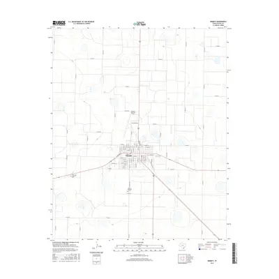
2016 Map of Dimmitt
USGS Topo · Published 2016About this map
Dimmitt serves as the central hub of this High Plains landscape, where the town's grid is defined by streets like E Halsell St and E Dulin St. The map illustrates a highly organized agricultural region, marked by a dense network of county roads such as Co Rd 610 and Co Rd 516 that partition the surrounding territory. This infrastructure supports the transport needs of a rural economy anchored by the county seat. Notable local landmarks include the Dimmitt Municipal Airport and Old Airport Rd, which highlight the evolution of local aviation. For those researching family history in Castro County, the map provides precise locations for West Lawn Memorial Park and Castro Memorial Gardens, situated on the outskirts of the primary settlement.
Find a feature on this map
66 named features on this map. Tap any name to fly to it.
Don’t see what you’re looking for? This feature index may not catch every label — zoom into the map to look around manually.
Map Details
Editions of this 2016 Dimmitt Map
This is the sole edition of this map. No revisions or reprints were ever made.
Other maps of this area

1954 · Clovis
USGS Topo · 1:250,000

1958 · Clovis
USGS Topo · 1:250,000

1962 · Dodd NE
USGS Topo · 1:24,000

1963 · Flagg
USGS Topo · 1:24,000

1963 · Hart NW
USGS Topo · 1:24,000

1965 · Dimmitt
USGS Topo · 1:24,000

1965 · Dimmitt SW
USGS Topo · 1:24,000

1965 · Nazareth SW
USGS Topo · 1:24,000

1966 · Jumbo
USGS Topo · 1:24,000

1966 · Nazareth NW
USGS Topo · 1:24,000