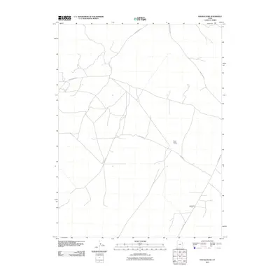
2011 Map of Dinosaur NW
USGS Topo · Published 2011About this map
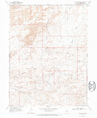
The energy-rich landscape of Uintah County is clearly defined on this 2011 survey, showing the industrial infrastructure that characterizes this corner of the state. Prominent extraction zones including the Powder Springs Gas Field and the Coyote Basin Oil Field dominate the topography, reflecting the area's continued role in regional resource production. The terrain is navigated by a network of specialized routes, most notably the Old Bonanza Hwy and Deadman Bench Rd, which facilitate transport through this utilitarian landscape. Unlike more densely populated regions, the map highlights the geometric precision of the Red Wash Rd and other connectors that serve the isolated oil and gas operations. This document captures the intersection of industrial development and desert geography at a time of active resource management.
Find a feature on this map
5 named features on this map. Tap any name to fly to it.
Don’t see what you’re looking for? This feature index may not catch every label — zoom into the map to look around manually.
Map Details
Editions of this 2011 Dinosaur NW Map
This is the sole edition of this map. No revisions or reprints were ever made.
Other maps of this area

1885 · Ashley
USGS Topo · 1:250,000

1907 · Jensen
USGS Topo · 1:125,000

1910 · Jensen
USGS Topo · 1:125,000

1954 · Vernal
USGS Topo · 1:250,000

1958 · Vernal
USGS Topo · 1:250,000

1960 · Vernal
USGS Topo · 1:250,000
1965 · Jensen
USGS Topo · 1:24,000
1968 · Snake John Reef
USGS Topo · 1:24,000
1968 · Dinosaur
USGS Topo · 1:24,000
1968 · Red Wash SE
USGS Topo · 1:24,000