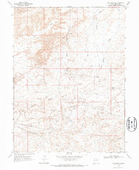
1968 Map of Red Wash SE
USGS Topo · Published 1970About this map
The Chapita Wells Gas Field defines the industrial character of this desert landscape in the late 1960s. Surveyed by the Geological Survey using 1965 aerial photography, the map documents a terrain carved by seasonal drainages such as Red Wash, Kennedy Wash, and Coyote Wash. The development of energy infrastructure is evident throughout, with numerous Drill Holes, a solitary Gas Well, and an extensive network of Pipelines, including several designated as Aboveground Pipeline segments.
Find a feature on this map
12 named features on this map. Tap any name to fly to it.
Don’t see what you’re looking for? This feature index may not catch every label — zoom into the map to look around manually.
Map Details
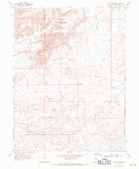
Editions of this 1968 Red Wash SE Map
2 editions found
Other maps of this area

1885 · East Tavaputs
USGS Topo · 1:250,000

1885 · Ashley
USGS Topo · 1:250,000

1907 · Jensen
USGS Topo · 1:125,000

1910 · Jensen
USGS Topo · 1:125,000

1954 · Vernal
USGS Topo · 1:250,000

1956 · Grand Junction
USGS Topo · 1:250,000

1958 · Vernal
USGS Topo · 1:250,000

1959 · Grand Junction
USGS Topo · 1:250,000

1960 · Vernal
USGS Topo · 1:250,000

1960 · Grand Junction
USGS Topo · 1:250,000