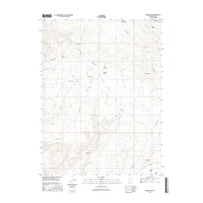
2017 Map of Dinosaur NW
USGS Topo · Published 2017About this map
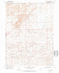
Deadmans Grave rests at the intersection of a vast desert road network in this corner of Uintah County, highlighting a solitary and specific point of human history amid the high plateau terrain. The landscape is dominated by the broad expanse of Deadman Bench, which is dissected by numerous drainage systems including Powder Springs Wash, Kennedy Wash, and Cow Wash. These ephemeral watercourses reflect the arid hydrology of the region, where seasonal flows have carved deep into the earth.
Find a feature on this map
20 named features on this map. Tap any name to fly to it.
Don’t see what you’re looking for? This feature index may not catch every label — zoom into the map to look around manually.
Map Details
Editions of this 2017 Dinosaur NW Map
This is the sole edition of this map. No revisions or reprints were ever made.
Other maps of this area

1885 · Ashley
USGS Topo · 1:250,000

1907 · Jensen
USGS Topo · 1:125,000

1910 · Jensen
USGS Topo · 1:125,000

1954 · Vernal
USGS Topo · 1:250,000

1958 · Vernal
USGS Topo · 1:250,000

1960 · Vernal
USGS Topo · 1:250,000
1965 · Jensen
USGS Topo · 1:24,000
1968 · Snake John Reef
USGS Topo · 1:24,000
1968 · Dinosaur
USGS Topo · 1:24,000
1968 · Red Wash SE
USGS Topo · 1:24,000