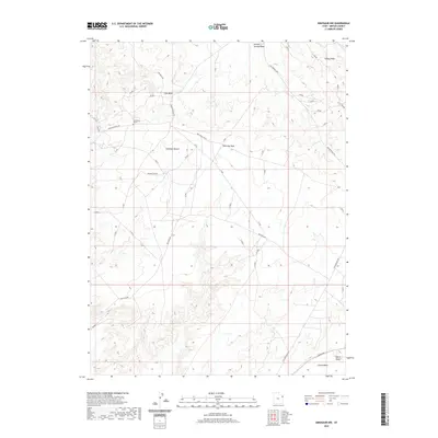
2020 Map of Dinosaur NW
USGS Topo · Published 2020About this map
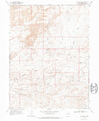
Deadmans Grave rests on the northern edge of Deadman Bench, a high plateau characterized by a network of drainage washes and rural access roads in Uintah County. The landscape is defined by its topographic relief, where Powder Springs Wash and Cow Wash carve through the arid terrain toward the north, while Coyote Basin and Coyote Wash dominate the southern portion of the sheet. Transportation is central to the area's utility, with the Old Bonanza Hwy cutting across the eastern sections and the Red Wash Cutoff connecting various points across the bench. This 2020 survey illustrates the modern grid of infrastructure supporting the remote high-desert region, including the curiously named Desperado road and the geographic prominence of Squaw Ridge along the northeastern corner.
Find a feature on this map
15 named features on this map. Tap any name to fly to it.
Don’t see what you’re looking for? This feature index may not catch every label — zoom into the map to look around manually.
Map Details
Editions of this 2020 Dinosaur NW Map
This is the sole edition of this map. No revisions or reprints were ever made.
Other maps of this area

1885 · Ashley
USGS Topo · 1:250,000

1907 · Jensen
USGS Topo · 1:125,000

1910 · Jensen
USGS Topo · 1:125,000

1954 · Vernal
USGS Topo · 1:250,000

1958 · Vernal
USGS Topo · 1:250,000

1960 · Vernal
USGS Topo · 1:250,000
1965 · Jensen
USGS Topo · 1:24,000
1968 · Snake John Reef
USGS Topo · 1:24,000
1968 · Dinosaur
USGS Topo · 1:24,000
1968 · Red Wash SE
USGS Topo · 1:24,000