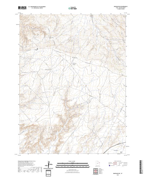
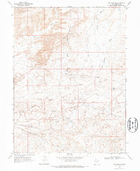
2023 Map of Dinosaur NW
USGS Topo · Published 2023About this map
Deadmans Grave stands as a solitary landmark on the plateau of Deadman Bench, highlighting the stark nomenclature of this corner of Uintah County. The landscape is defined by a network of drainage systems including Kennedy Wash, Cow Wash, and Powder Springs Wash, which carve through the arid terrain south of Powder Ridge. This territory is primarily marked by industrial and transit corridors, where the Red Wash Rd and the Red Wash Cutoff intersect the historical path of the Old Bonanza Hwy. To the southeast, the terrain descends into the Coyote Basin near Coyote Wash, while the presence of Powder Springs suggests the critical, albeit sparse, water sources that influenced early movement through this high desert region. The map captures a moment of modern energy infrastructure layered over a geography that still retains its rugged frontier descriptors.
Find a feature on this map
14 named features on this map. Tap any name to fly to it.
Don’t see what you’re looking for? This feature index may not catch every label — zoom into the map to look around manually.
Map Details
Editions of this 2023 Dinosaur NW Map
This is the sole edition of this map. No revisions or reprints were ever made.
Other maps of this area

1885 · Ashley
USGS Topo · 1:250,000

1907 · Jensen
USGS Topo · 1:125,000

1910 · Jensen
USGS Topo · 1:125,000

1954 · Vernal
USGS Topo · 1:250,000

1958 · Vernal
USGS Topo · 1:250,000

1960 · Vernal
USGS Topo · 1:250,000
1965 · Jensen
USGS Topo · 1:24,000
1968 · Snake John Reef
USGS Topo · 1:24,000
1968 · Dinosaur
USGS Topo · 1:24,000
1968 · Red Wash SE
USGS Topo · 1:24,000