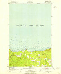
1950 Map of Disque
USGS Topo · Published 1955About this map
Gettysburg Ranch and the small settlement of Disque anchor this 1950 coastal survey of the Olympic Peninsula along the Strait of Juan de Fuca. The landscape is defined by the steep descent of coastal drainages like Murdock Creek, Nelson Creek, and the Lyre River as they meet the shoreline at Low Point. This era shows the critical role of heavy transport in Clallam County, with the Chicago Milwaukee St Paul and Pacific railroad corridor cutting through the southern portion of the sheet.
Find a feature on this map
16 named features on this map. Tap any name to fly to it.
Don’t see what you’re looking for? This feature index may not catch every label — zoom into the map to look around manually.
Map Details
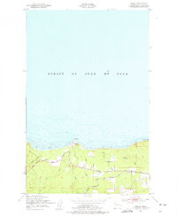
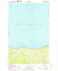
Editions of this 1950 Disque Map
3 editions found
Other maps of this area

1918 · Lake Crescent
USGS Topo · 1:62,500

1919 · Port Crescent
USGS Topo · 1:62,500

1922 · Lake Crescent
USGS Topo · 1:62,500

1950 · Mount Muller
USGS Topo · 1:24,000

1950 · Lake Sutherland
USGS Topo · 1:24,000

1950 · Twin Rivers
USGS Topo · 1:24,000
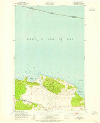
1950 · Joyce
USGS Topo · 1:24,000

1950 · Lake Crescent
USGS Topo · 1:24,000
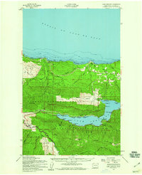
1950 · Lake Crescent
USGS Topo · 1:62,500
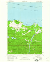
1950 · Joyce
USGS Topo · 1:62,500