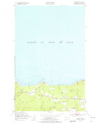
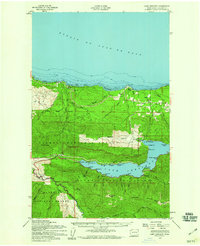
1950 Map of Disque
USGS Topo · Published 1977About this map
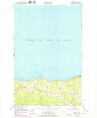
The rugged Olympic Peninsula coastline meets the Strait of Juan de Fuca in this 1950 field check, revealing a landscape defined by its coastal transport networks and small rural outposts. At Low Point, the shoreline transitions into areas of Shale and Boulders and Tidal Flats, where the Lyre River and several smaller streams like Whiskey Creek and Murdock Creek reach the sea.
Find a feature on this map
18 named features on this map. Tap any name to fly to it.
Don’t see what you’re looking for? This feature index may not catch every label — zoom into the map to look around manually.
Map Details
Editions of this 1950 Disque Map
3 editions found
Other maps of this area

1918 · Lake Crescent
USGS Topo · 1:62,500

1919 · Port Crescent
USGS Topo · 1:62,500

1922 · Lake Crescent
USGS Topo · 1:62,500

1950 · Mount Muller
USGS Topo · 1:24,000

1950 · Lake Sutherland
USGS Topo · 1:24,000

1950 · Twin Rivers
USGS Topo · 1:24,000
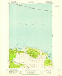
1950 · Joyce
USGS Topo · 1:24,000
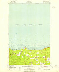
1950 · Disque
USGS Topo · 1:24,000

1950 · Lake Crescent
USGS Topo · 1:24,000
1950 · Lake Crescent
USGS Topo · 1:62,500