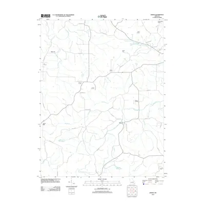
2012 Map of Dissen
USGS Topo · Published 2012About this map
Kohl City and Dissen anchor this rural landscape in the Northeastern Ozarks, where the terrain is defined by the winding paths of Boeuf Creek and Big Berger Creek. The map documents a deeply established agricultural community, evidenced by several family-named landmarks and resting places such as Dahl Cemetery, Kohlbush Cemetery, and Meyers Cemetery. These features, along with names like Kohl City Rd and Grant School Rd, provide significant genealogical value for those tracing local family lineages in this corner of Franklin County. The southern portion of the sheet shows the confluence of smaller waterways like Cedar Fork and Prairie Fork, while the presence of the Landing Strip near the southeastern corner and Ben J Koch Lake indicates modern land uses interspersed with traditional farmsteads and ridges like Etlah Knobs.
Find a feature on this map
49 named features on this map. Tap any name to fly to it.
Don’t see what you’re looking for? This feature index may not catch every label — zoom into the map to look around manually.
Map Details
Editions of this 2012 Dissen Map
This is the sole edition of this map. No revisions or reprints were ever made.
Other maps of this area

1890 · Hermann
USGS Topo · 1:125,000

1903 · Sullivan
USGS Topo · 1:125,000

1935 · Gerald
USGS Topo · 1:48,000

1936 · Hermann
USGS Topo · 1:48,000

1941 · Gerald
USGS Topo · 1:62,500

1942 · Hermann
USGS Topo · 1:62,500

1944 · Gerald
USGS Topo · 1:62,500

1945 · Hermann
USGS Topo · 1:62,500

1946 · Union
USGS Topo · 1:62,500

1948 · Union
USGS Topo · 1:62,500